When the Plan Outlasted the Town
Winchelsea was drawn before a single house stood on it. The new town on the hill above the silting harbour was laid out in the 1280s — a rectilinear grid of thirty-nine quarters, or insulae, pressed onto a ridge of sandstone and clay — and the ambition of that plan was never modest. It was made for a Cinque Port at full commercial weight, with room for merchants, vintners, sailors, clergy and the ordinary density of a working medieval town. Then, almost immediately, things went wrong: the harbour began to silt, the French raided, plague arrived, and the population that was supposed to fill the grid never materialised in the numbers the planners had imagined. The result is one of the strangest medieval landscapes in England — a town that is still, in outline, entirely there, and in substance largely absent.
Two thirds of the planned area is now farmland, orchard, garden and grass. The streets on the outer quarters carry no traffic to anywhere, the plot boundaries survive as hedgerows and earthwork scarps, and you can walk what would have been the town's western and northern edges without passing a single occupied building. This is not ruin in the usual sense. Nothing dramatic fell. There was simply never enough population to press the plan into bricks and mortar in those quarters, and what was begun quietly retreated back into the ground over the course of the fourteenth and fifteenth centuries.
Reading the Ground
To understand what you are looking at, it helps to hold one fact steady: the plan is not lost. The grid was set out on the ground, and the grid — or most of it — is still there. The modern road pattern in the occupied core follows the medieval street lines almost exactly. Where the town is still inhabited, the streets between the church and the Strand Gate still run at the same angles and intervals they always did. What the outer quarters show is not the disappearance of the plan but its preservation without the buildings that should have completed it.
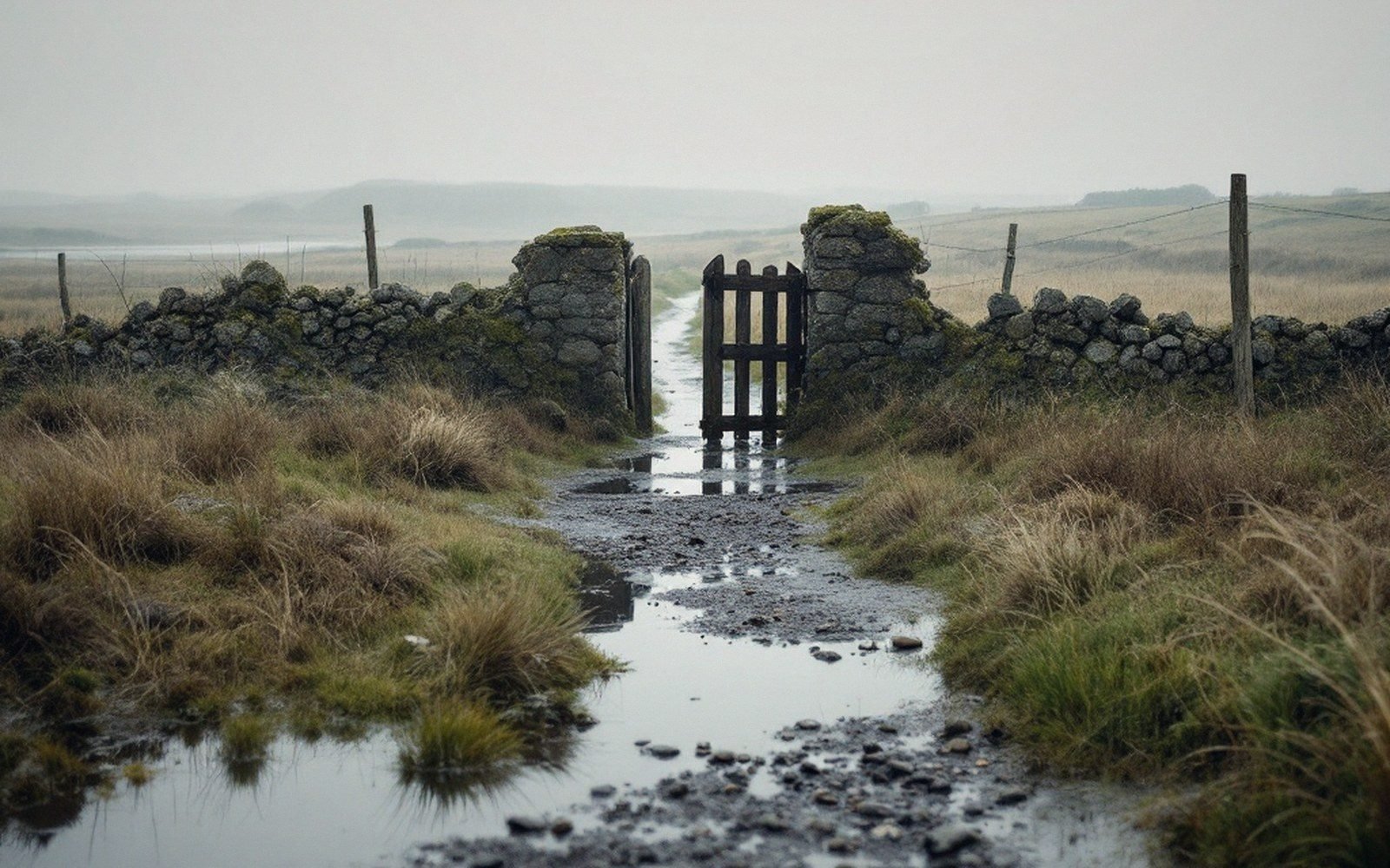
Walk north or west from the church and you cross an invisible threshold. The streets become lanes, then tracks, then grassy ridges that run between fields. But they are running at the right angles, on the right alignments. The hollow ways — shallow depressions worn by medieval foot and cart traffic before the grass grew back — are still visible in low-angle light, especially in winter when the vegetation is thin. The boundaries of individual plots, which in the occupied quarters would be marked by walls and fences between properties, appear here as low banks, slight changes in ground level, and the kinds of boundary hedges that have not moved in six centuries because there was never a building project that needed to shift them.
The earthworks and boundary lines legible in the grass of the outer quarters repay slow attention. A scarp that looks like a natural field edge is often the back boundary of a strip of plots facing a street that no longer functions as a street. A dip in the middle of a field is frequently the ghost of a lane — not a major road, but one of the minor service routes that the grid included between its main axes. These features are not labelled and are not maintained as monuments. They exist because nothing happened to destroy them.
The 1292 rental — drawn up just a few years after the new town was laid out — records the quarters with a methodical precision that makes it possible to identify which parts of the grid were already occupied and which were not. The document goes square by square, noting plot holders and in some cases noting the absence of any. The outer quarters, particularly toward the north and west, show thinner occupation even in that early record. A few plots had been taken. Most had not. The population the town needed to complete itself had not yet come, and it never did.
The Shape of an Absence
What does an unbuilt medieval town square actually look like? The answer, in the Winchelsea case, is instructive. It does not look like rubble, because there was rarely enough building in the outer quarters to leave rubble. It does not look like a field that has simply forgotten it was once a town. It looks, rather, like a field that has been divided and re-divided on lines that do not quite match the agricultural logic of the landscape around it — because they were not made by the landscape, but imposed on it.
The most telling detail is the persistence of the quarter boundaries themselves. In the occupied core, the quarters are defined by streets on all four sides, and the internal plots are filled with buildings. In the outer quarters, the four bounding streets are still traceable — as roads in use, as tracks, or as boundary features — but the interior is open. You are standing inside what would have been a self-contained urban block, perhaps two or three acres in area, and it is empty. That combination — defined perimeter, empty interior — is the characteristic experience of Winchelsea's abandoned quarters, and it is unlike almost anything else in the English townscape.
There is a further subtlety. The plan was made for a ridge that is not flat, and the geometry required to hold a rectilinear grid together on uneven ground meant that some quarters were cut at the edges, compressed or angled to accommodate the natural contours. In the inhabited parts of the town, those adjustments are hidden inside the buildings that fill the lots. In the outer quarters, where the land is open, you can see the geometry straining — a track bending slightly, a field boundary that should be straight but follows a scarp instead. The plan and the ground were never a perfect fit, and the grass shows you the places where they disagreed.
Why It Stopped Where It Did
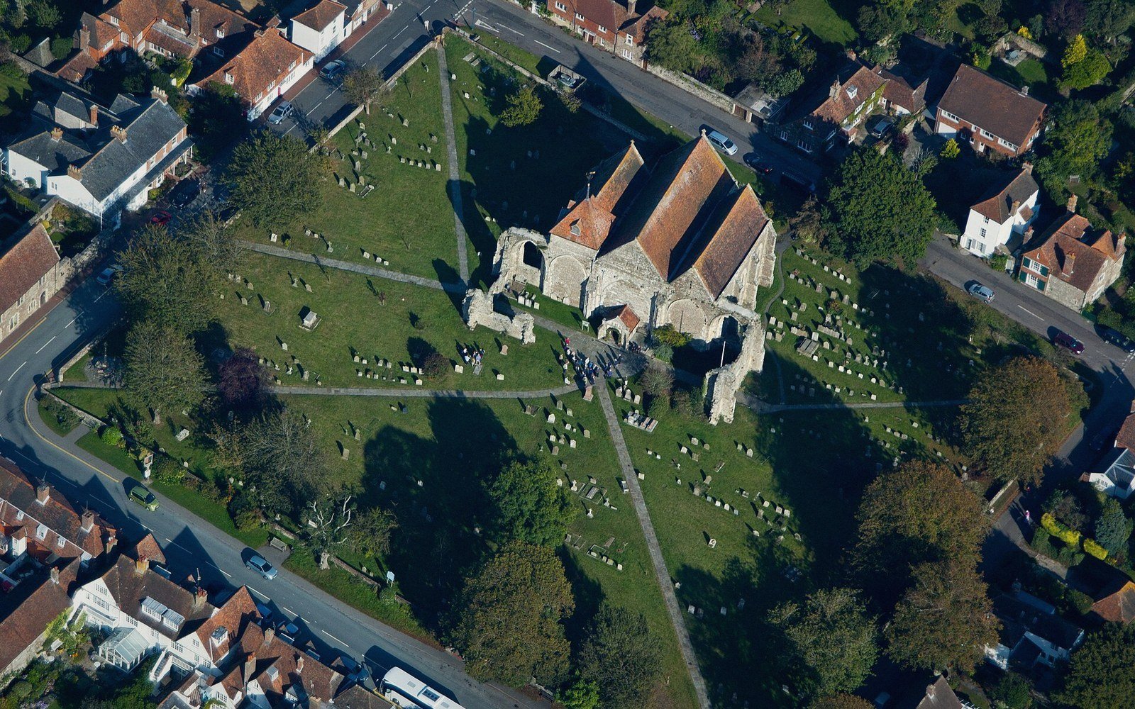
The occupied area of Winchelsea has contracted toward the church over centuries, and the pattern of that contraction is not random. The core — roughly the area between St Thomas the Martyr, the Strand Gate, and the main axis of the high street — retained enough population and enough trade to hold itself together through the worst of the fourteenth century. The outer quarters did not. The raids of the fourteenth century were devastating enough to drive people out of exposed properties; the silting of the harbour removed the commercial reason to rebuild; and the Black Death reduced a town that was already thinning faster than nature could fill it back. The result was a gradient — dense and continuous near the church, progressively thinner as you move outward, until the plan simply runs out of buildings.
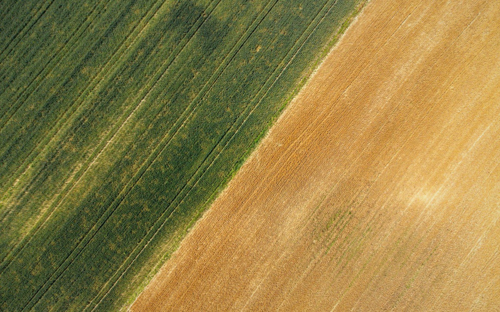
That gradient is still readable in the fabric of the town. Near the church, plots are occupied and walled, and the streets function as streets. Moving outward, the buildings become intermittent, then solitary, then absent. The streets widen into green lanes. The plot boundaries become earthworks. The quarter becomes a field. And then, at the outer edges of the planned area, there is nothing at all — just the ridge, the view, and the faint lines in the grass that tell you this was meant to be a city.
Standing in one of those outer quarters, knowing what you know about the plan, is a strange experience. You are not standing in a ruin. You are standing in an intention — the physical memory of a town that was fully imagined, partially attempted, and then surrendered to the grass before most of it could be built. The population that should have filled it went elsewhere, or died, or never came at all. The plan remained. The grid remained. And two thirds of it is, still, exactly as the fourteenth century left it: open ground, defined by boundaries that have not moved, waiting for a town that is not coming.