The gates that survived the wall that wasn't built
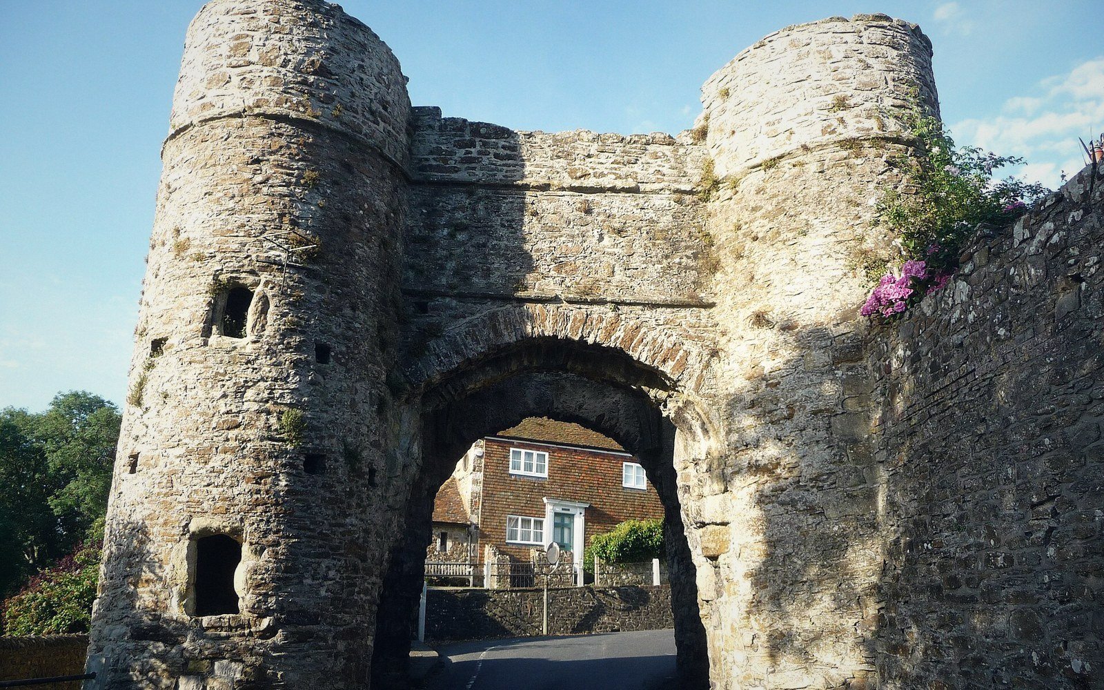
Winchelsea has three medieval gates. They stand in open ground — two of them marking the edges of a settled town, one of them alone in a field almost a mile from the nearest house. All three are substantial stone structures. None of them is attached to a wall that does much of anything. That gap between intention and completion is not a detail of local history. It is the whole story of what Winchelsea was planned to be, and what it became.
The town was laid out in the 1280s on the high plateau of Iham, after the old settlement on the shingle below had been destroyed by storm surge. It was a royal foundation: a planned grid of streets and numbered quarters, drawn before a single building occupied the ground. The grid was generous — thirty-nine quarters, space for a major port town, a church that aspired to cathedral scale. The defences were drawn to match that ambition. A wall circuit was intended to enclose the whole plateau. What was built, and built properly, were the gates. The wall was mostly not.
Chronology
4 entries · in order- 1280sOld Winchelsea destroyed by storm surge; new town laid out on Iham plateau on a planned grid
- 1292Rental document records the grid by numbered quarters; plots already assigned across the full area
- 14th centuryFrench raids, harbour silting and plague begin eroding the population
- IntermittentWall construction documented in spending records but never completed as a full circuit