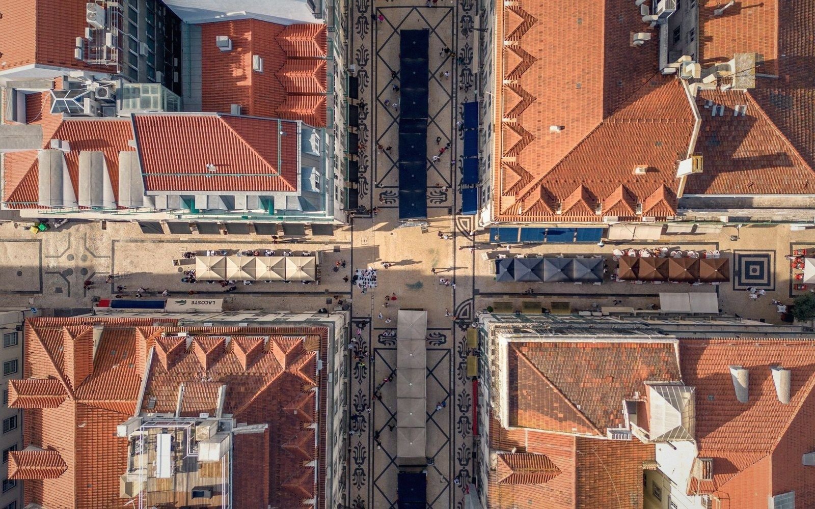
The loss of Old Winchelsea was catastrophic and rapid. The original settlement sat on a low shingle spit at the mouth of the Brede, a prosperous Cinque Port trading Gascon wine across the Channel and supplying ships to the Crown. Storm surges through the 1280s took it piece by piece — the sea did not send one wave but many, over successive winters, until the site was uninhabitable. By the time Edward I acted, there was no question of patching what remained. A new town would be built, and it would be built from nothing, on ground that had never been settled.
That circumstance — total loss, royal urgency, a clear site — is precisely what made Winchelsea possible as an act of planning. Most medieval towns are hybrids: a market street pushed out from a castle gate, a suburb grown along a road, a monastic precinct absorbed into something larger. Winchelsea was none of these things. It was drawn first.
The Ridge and the Grid

The chosen site was a sandstone ridge above the Brede valley, high enough to command both the harbour below and the approaches from the north. The land was not flat — it tilts and breaks in places — but it offered something the drowned shingle spit never had: defensible ground with a quay at its foot. Edward's surveyors imposed on it a rectilinear grid of streets and lanes enclosing rectangular plots called quarters. The rental document of 1292 names thirty-nine of them, each identified, each assigned or awaiting a tenant, the whole town legible on parchment before the mortar was dry anywhere.
The grid itself is Roman in idea if not in lineage. Edward I's other planned towns of the late thirteenth century — Flint, Hull, Berwick — share the same ambition: impose a rational geometry on the ground so that every plot is understood, every tenancy recorded, every obligation clear. What distinguishes Winchelsea from many of these foundations is how intact the underlying geometry remains. The streets are still there. The quarter boundaries are still there, in hedges and walls and the lines where different ground covers meet. Most of the quarters, however, are grass.
Key dates and the planning sequence
4 entries · in order- c. 1280sRepeated storm surges destroy Old Winchelsea on the shingle spit
- 1283Edward I acquires the ridge site from the Abbot of Fécamp; planning begins
- 1287The most destructive inundation; formal abandonment of the old site follows
- 1292Rental document records thirty-nine named quarters, the fullest early evidence of the grid
The plan was drawn for a population that never came in the numbers anticipated. A town of this footprint, fully built, would have been substantial — a major port, a trading centre, a place of real commercial weight. The harbour would supply the reason; the grid would supply the order. Both assumptions proved, over the following century, to be wrong.
What the Plan Assumes
To lay out a town before it is inhabited is to make a series of wagers. You wager that the harbour will work, that trade will come, that enough people will want to be here to justify the geometry. The Winchelsea plan made all of these wagers, and it made them in the most legible form possible: equal plots, regular streets, public space at the centre, a church large enough for a prosperous town.
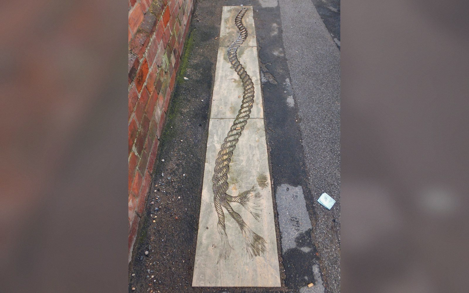
The church is one of the clearest indices of intent. St Thomas the Martyr was planned on a scale that the eventual population never justified. What stands today — chancel, transepts, three extraordinary bays of decorated Gothic — is a fragment: the nave was never finished, or was finished and lost to the raids and to shrinkage that followed. The ambition of the building encodes the ambition of the plan.
The grid encodes something else: administrative certainty. Every plot that could be granted was a plot that could be taxed, that could be sold, that could be the subject of a legal dispute resolved by reference to a document. The rental of 1292 is not just a list of who lived where; it is evidence that the entire enterprise was conceived in terms of legible, transferable property rights. This is a town designed to be governed as much as inhabited.
What the plan assumed
3 entries · in order- —Equal plots, regular streets, public space at the centre, a church built for a prosperous town
- "The ambition of the building encodes the ambition of the plan"on St Thomas the Martyr
- "The very failure of the town is why the town plan survives"central argument of the piece
The street layout reinforced this. The main axes run roughly north–south and east–west, meeting at right angles, with the market area — now the square known as the Centre — where one might expect it: near the middle, accessible from all quarters. The lesser lanes subdivide the blocks. Below the cliff, at the foot of the town, the quay gave onto the water. The whole system was coherent, which is part of why the skeleton survives so clearly even now, when two-thirds of the quarters were never built on in any permanent way.
Why It Stayed Legible
Towns that fill up become illegible. Centuries of subdivision, infilling, fire, clearance and rebuilding erase the original geometry under layers of incident. Winchelsea did not fill up. The raids of the fourteenth century, the silting of the harbour, the plague, the slow haemorrhage of population — each of these arrested the building programme at a different stage, but together they preserved the plan in amber. Where a quarter was never built on, its boundaries remained as field divisions. Where a house fell and was not replaced, the plot persisted as a garden or a paddock. The very failure of the town is why the town plan survives.
Walking the outer quarters now, you are walking through negative space — absence that has a shape. The hollow ways, the slight terracing, the lines of different turf mark out blocks that a surveyor measured in the 1280s. No buildings, but the geometry is still there underfoot. A town that succeeded would have buried all of this under four hundred years of rebuilding. Winchelsea's arrested growth is its most revealing characteristic.
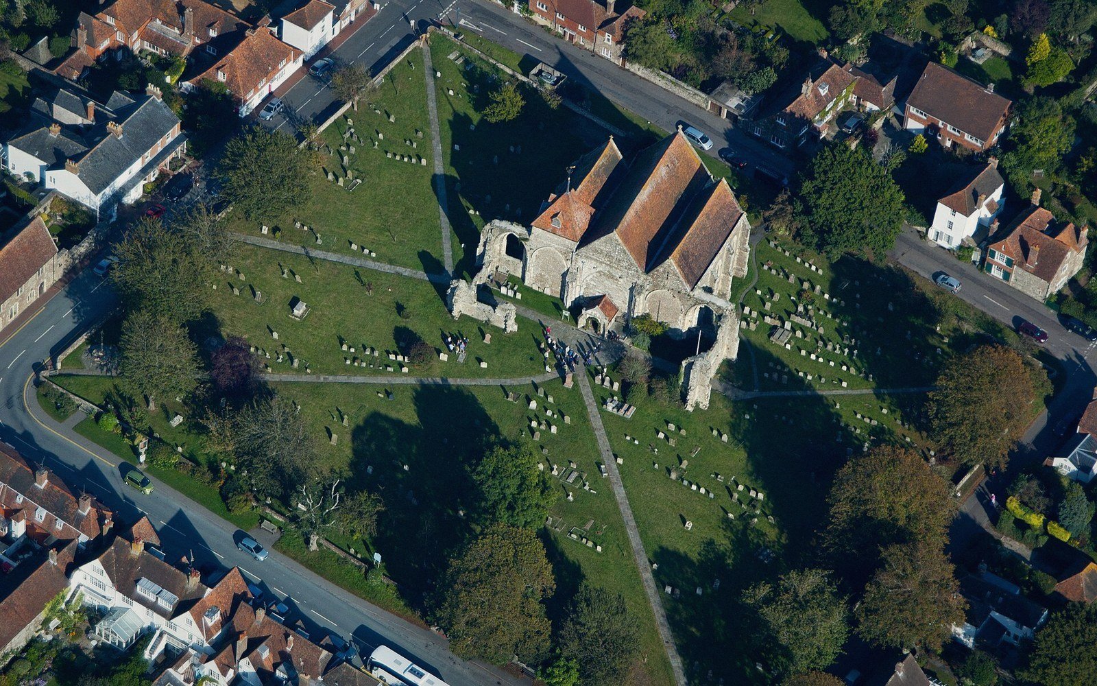
The gates compound the strangeness. Three of them survive — the Strand Gate, the Pipewell Gate, the New Gate — standing in largely open ground because the defences they were meant to anchor were never completed. The wall circuit was planned and largely unbuilt; the gates rose and the wall did not follow. What you see is the skeleton of an intention, not the body it was meant to support.
The Plan as Evidence
Winchelsea is one of a handful of places in England where the original act of town foundation is still legible at ground level. Most comparable foundations — the Edwardian bastides in Wales, the planted towns of the same period — have been overlaid, altered or destroyed. Here, the combination of a complete documentary record and an incomplete physical one produces something unusual: you can read the plan in the rental, and you can read the same plan in the field. The document and the landscape corroborate each other.
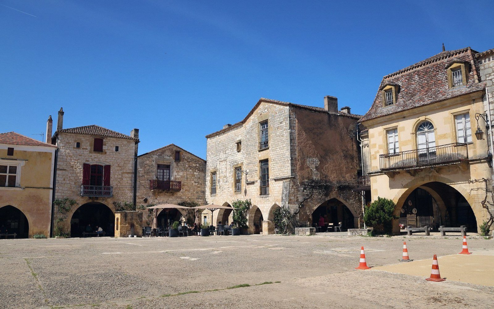
That legibility makes Winchelsea useful to historians in a way that successful medieval towns rarely are. A thriving town tells you what people built; an arrested one tells you what they intended. The gap between the two — between the thirty-nine quarters of the 1292 rental and the inhabited core that the town eventually contracted to — is the measure of everything that went wrong: the raids, the silt, the loss of the harbour trade that the whole enterprise depended on.
The plan was drawn for a different future. Stand in the square now, and the geometry still holds, but the town that was supposed to fill it is mostly air.