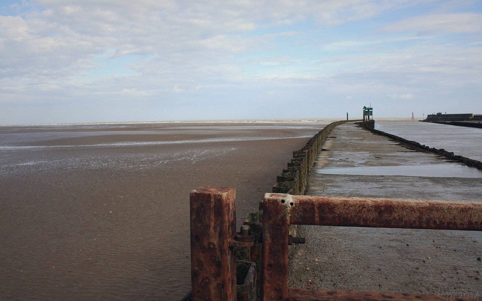
How a Harbour Disappears Without Announcing Itself
Winchelsea's decline is often told as a story of raids and plague and shrinking population — discrete events with dates attached. The harbour is different. It did not close on a morning anyone recorded. It silted, slowly and then decisively, across the fourteenth and fifteenth centuries, and the process that ended it was older and larger than anything the town's misfortunes could explain. The Brede valley was always going to fill. Winchelsea happened to depend on it not doing so.
The estuary that made the new town possible was a wide, tidal inlet reaching inland past the ridge on which Edward I's planned grid was being marked out from the late 1280s. Ships working in and out of it had a natural harbour with real depth — enough, at the town's height, to accommodate the Gascon wine fleet and the vessels the Cinque Ports owed in royal ship service. The quay lay below the western face of the ridge, close to where the ground drops sharply toward the levels today. The sea was close enough to matter economically, and the arrangement seemed permanent because tidal estuaries, when you are using one and profiting from it, feel permanent.
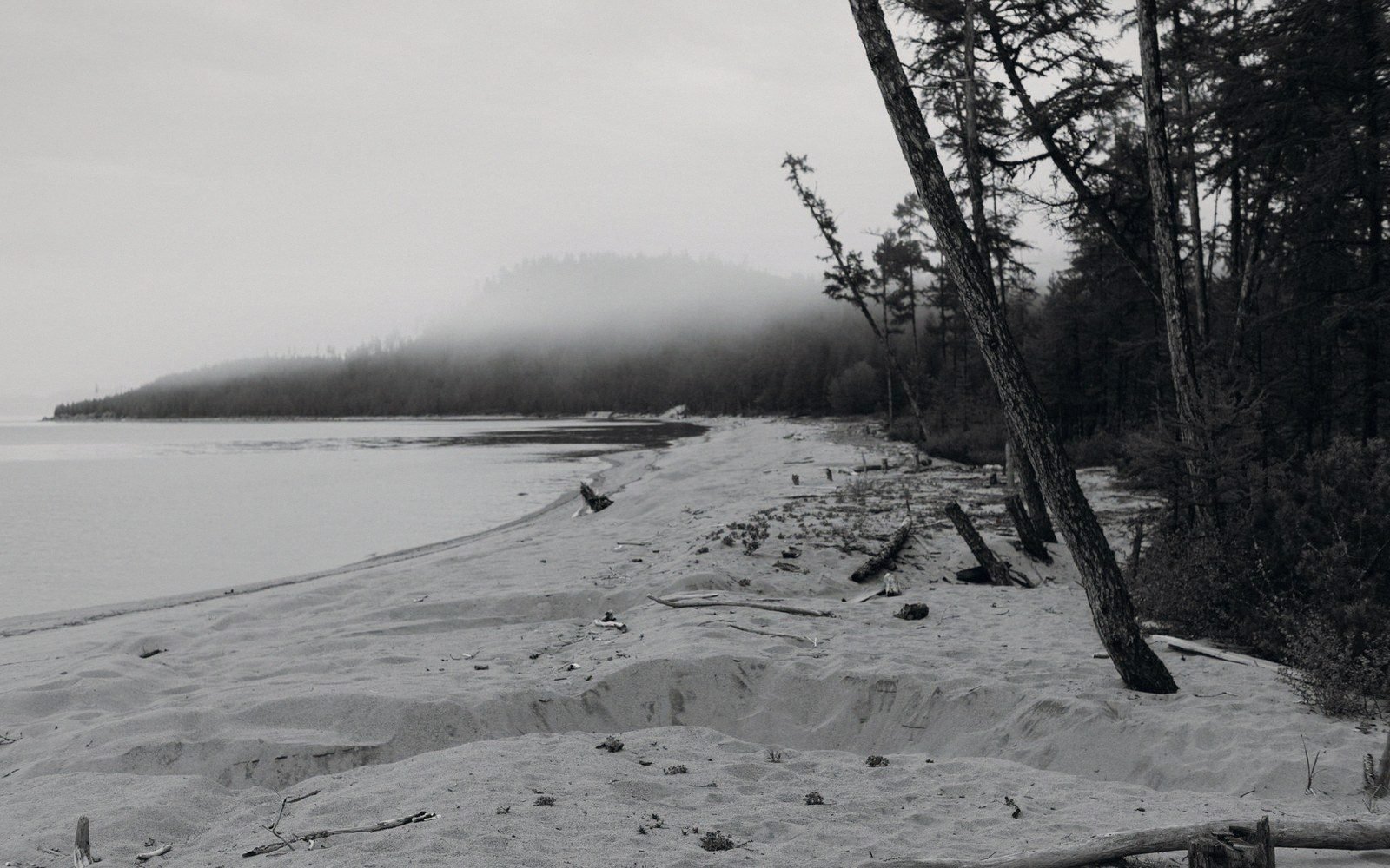
What they actually are is transitional. An estuary in a low-energy setting — sheltered from the open sea, with rivers feeding sediment from inland — fills over time. It fills from the sides as saltmarsh colonises the margins, and it fills from the bottom as fine silts drop out of suspension on every slack tide. Each tide that carries sediment in deposits a little; each tide that runs out carries a little less away. The balance shifts, almost imperceptibly, in favour of accumulation. The channel narrows, shoals form, the navigable section shortens from its inland end. None of this announces itself as catastrophe. It is, in the short run, invisible.
Chronology of the decline
6 entries · in order- Late 1280snew Winchelsea founded on the ridge; estuary harbour open and navigable
- 13th century onwardsystematic embanking and draining of Romney Marsh levels reduces tidal prism
- 14th centuryFrench raids compound commercial disruption; harbour access deteriorating
- 14th–15th centurysilting advances; larger vessels unable to use the quay reliably
- Later medieval periodRother finds its course past Rye; Winchelsea's harbour connection severed
- Presentshoreline approximately two miles from the ridge; former estuary now grazing marsh
The River That Helped Bury It
The Brede is a modest river now, running between embanked pasture before it meets the Rother near Rye. In the medieval period, before the systematic draining and embankment that reshaped the Romney Marsh levels from the thirteenth century onward, it contributed substantially to the estuary that served both Winchelsea and Rye. Its catchment is not large, but the nature of the silts it carries — fine-grained material eroded from Wealden clays — made it exactly the kind of river that builds an estuary floor. Every flood event pushed a pulse of sediment seaward. Every dry season dropped it in the channel.
The reclamation work that the lords of the marsh levels pursued, converting tidal mudflat and saltmarsh into grazeable pasture by building inning walls and installing drainage sluices, had consequences they understood only partially. Each parcel of land taken from the estuary reduced the tidal prism — the volume of water exchanged with each tide. A smaller tidal prism means weaker tidal currents, and weaker tidal currents scour less sediment from the channel floor. The very activity that created productive farmland around Winchelsea was, in hydraulic terms, strangling the harbour. The farmers and the landlords were not making a choice between land and sea access; they were pursuing straightforward economic improvement, and the harbour was paying the hidden cost.
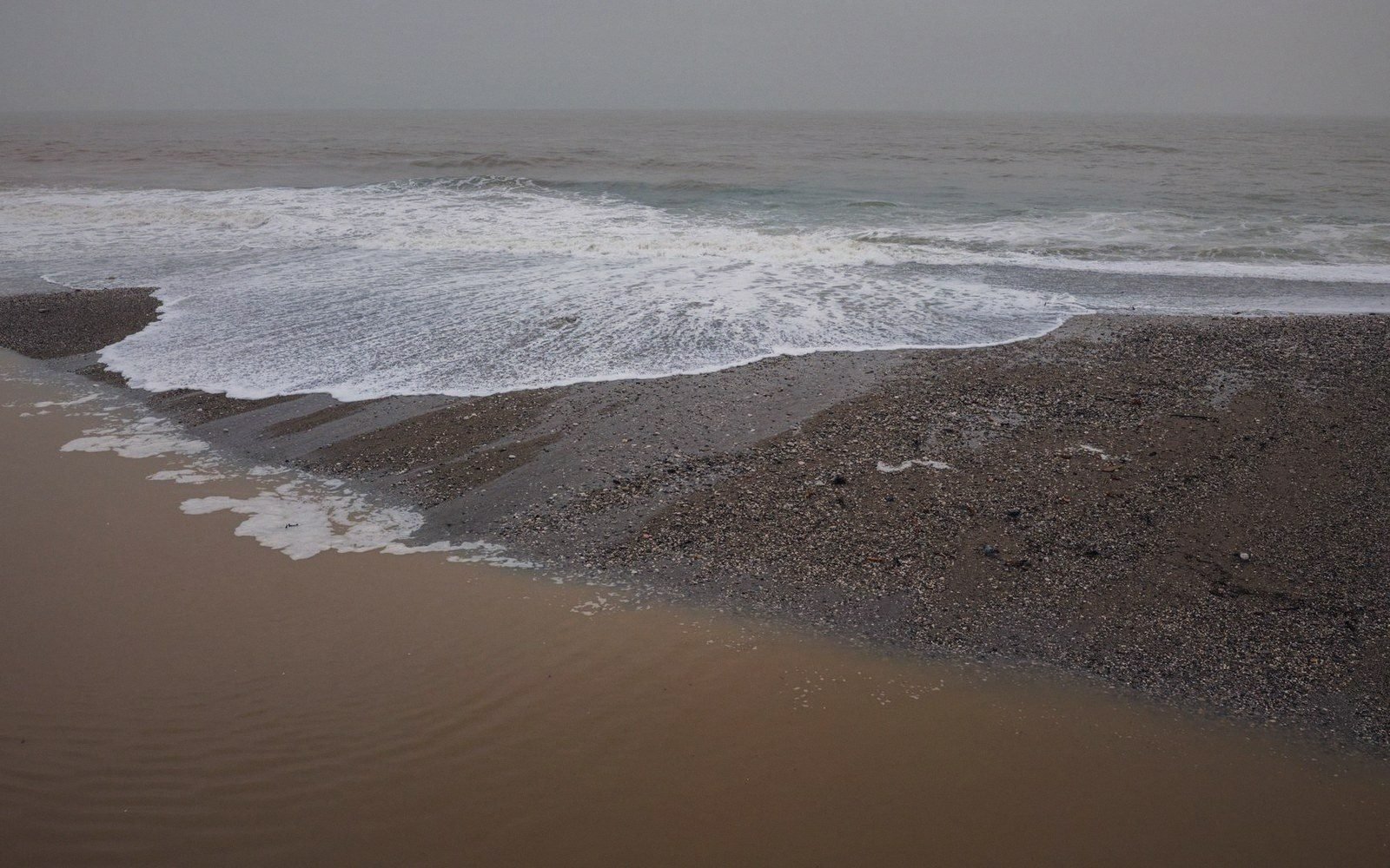
Rye, sitting on its own sandstone outcrop to the north-east, was subject to the same process in the same estuary system. The competition between the two towns for whatever navigable water remained grew sharper as the overall resource contracted. The Rother eventually found its modern course, largely through the changes wrought by storms in the later medieval period, running past Rye rather than serving Winchelsea as it had before. The consequences for Rye were difficult; for Winchelsea, they were closer to terminal.
Key terms
Words used in their local sense| Term | What it means here |
|---|---|
| Tidal prism | the volume of water an estuary exchanges with each tide; reduced by land reclamation, weakening the tidal scour that keeps channels open |
| Inning | the medieval practice of enclosing tidal land behind an embankment to reclaim it for agriculture |
| Lading / unlading | loading and unloading cargo; the practical activity that made the quay economically essential |
What the Quay Could No Longer Do
By the middle of the fourteenth century, the deterioration was well enough advanced to be visible in practical terms. Larger vessels were drawing more water than the approaches could reliably provide. Lading and unlading — loading and unloading in modern usage — was becoming a logistical problem, dependent on tides and seasons and the careful local knowledge of pilots who understood where the shoals now lay. Trade did not stop abruptly: there was too much invested in the town's commercial infrastructure, and the wine trade from Gascony, which had helped pay for the cellars beneath the town's plots, had its own momentum. But a merchant weighing a voyage to Winchelsea against a voyage to a port with deeper water was making a calculation that was getting steadily harder to resolve in Winchelsea's favour.
The vaults beneath the town — more than thirty of them, built in a distinctive local style — represent the commercial ambition of a port that expected to keep receiving bulk cargoes. Stone cellars are not a speculative investment; they are built for a trade that the owner believes will continue. The fact that they were built in such numbers in the decades immediately after the new town's foundation suggests a genuine confidence in the harbour. That confidence was not irrational at the time it was expressed. What changed was not the merchants' judgment but the estuary floor, rising one slack tide at a time under accumulating silt.
The French raids of the fourteenth century — damaging, repeated, and well-documented — are sometimes credited with doing what the silt was already doing anyway. They destroyed buildings, drove out residents and disrupted commerce. But a port with excellent harbour access recovers from raids; history offers many examples. What Winchelsea could not recover from was the combination: violence that accelerated depopulation in a town whose economic foundation was simultaneously being undermined by a process no one could reverse. The raids were the shock; the silt was the structural condition.
What Two Miles of Emptiness Looks Like
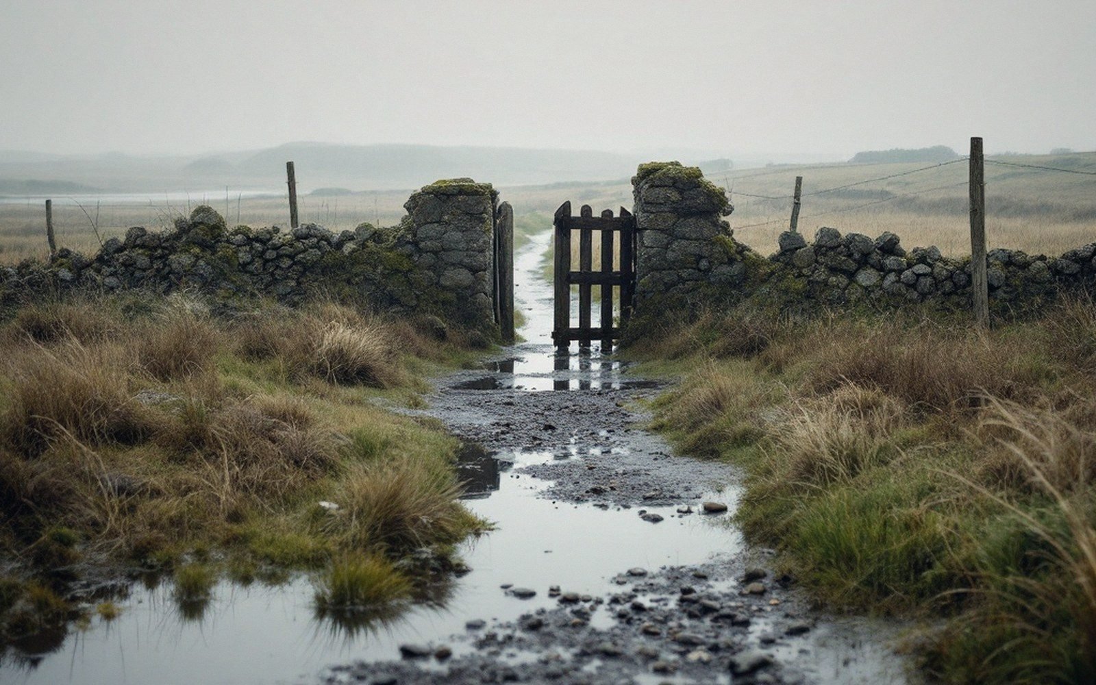
Stand at the western edge of the ridge today, where the land drops away from the built grid toward the levels, and the distance between town and water becomes measurable and legible. The present shoreline is approximately two miles away. Between them lies the grazing marsh — the old estuary floor, embanked and drained over centuries into the flat, dyke-crossed levels that now carry cattle and sheep across what was once tidal water. The land itself is, in a real sense, the harbour. It simply no longer functions as one.
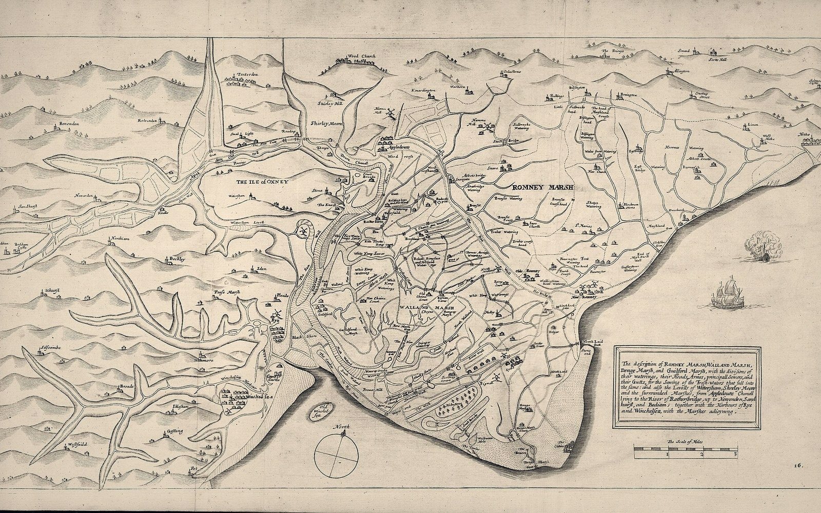
The two miles of marsh that separate Winchelsea from the sea are not an absence. They are a record: of reclamation, of siltation, of tidal retreat. The channels that persist in the levels as drainage ditches follow, in many cases, the lines of the medieval waterways. The landscape is not a ruin in the conventional sense — nothing burned or collapsed — but it is legible to anyone who looks at it with the question of the harbour in mind.
The town that remains on the ridge is sometimes described as a failure, which is accurate enough as far as it goes. Thirty-nine quarters were plotted; a large fraction were never built on, and those that were have contracted over time toward the church at the centre. The scale of what was intended versus what was achieved is unmistakable. But the planned town was not failed by its design or its founders. It was failed, in substantial part, by a hydraulic process that would have been difficult to identify in 1290 and impossible to halt. The grid was drawn for a harbour town. The harbour quietly ceased to be one. What was left — a small, strange, remarkably intact fragment of a medieval new town, sitting above its former waterfront on a ridge — is the result.

The silt did not announce itself. That is the nature of slow processes. By the time anyone understood clearly what had happened, the ships had already stopped coming, the quay was an approach to a mudflat, and the town that had been planned as a working port was becoming something quieter and stranger: a place whose form still remembers the expectations of the 1280s, even though the water that justified those expectations is two miles away.