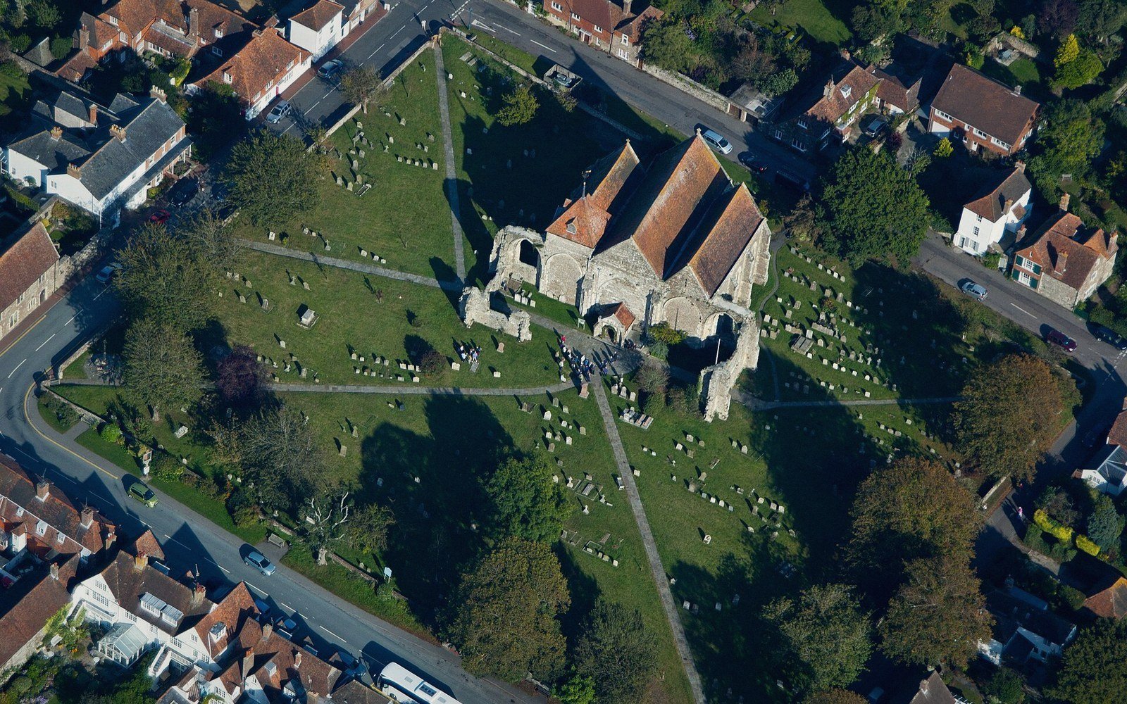
A Town Drawn Before It Existed
Before a single house went up on the ridge, someone had decided where the streets would run.
The sea took the old town in a night, and what replaced it was not a village that grew — it was a plan, set out on the ridge in equal blocks with a quay below the cliff. One of the most complete surviving medieval new towns in England, and why it was drawn that way.
By the editors · 6 min read
The index is the plan
Thirty-nine quarters · twenty-one carry a recordThere are no categories here. The town was set out in numbered quarters before anyone lived in it, and this is how the record is filed: to find the church you go to the square that holds it. A quarter that was laid out and never built on has a record too — it is hatched, and it is most of the plan.
Six quarters of the record
Where each square belongsThe Plan
Thirty-nine squares drawn before the town existed.
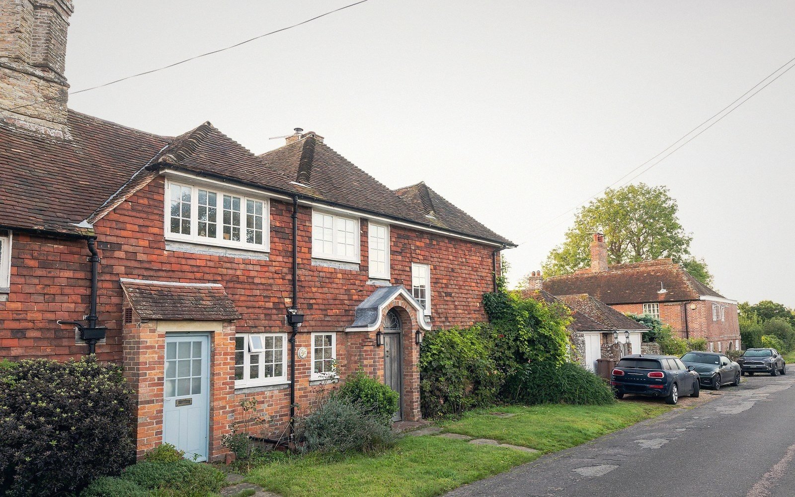
4 quarters IIUnder the Houses
The vaulted cellars, and what they were for.
3 quarters IIIThe Gates
Three arches standing in fields.
3 quarters IVThe Church
A parish church that was never finished.
3 quarters VThe Water
The harbour, the silt and the two miles.
4 quarters VIWhat Was Never Built
Two thirds of the plan is grass.
4 quarters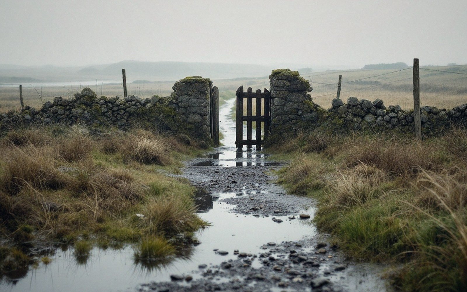
The long pieces
Read in full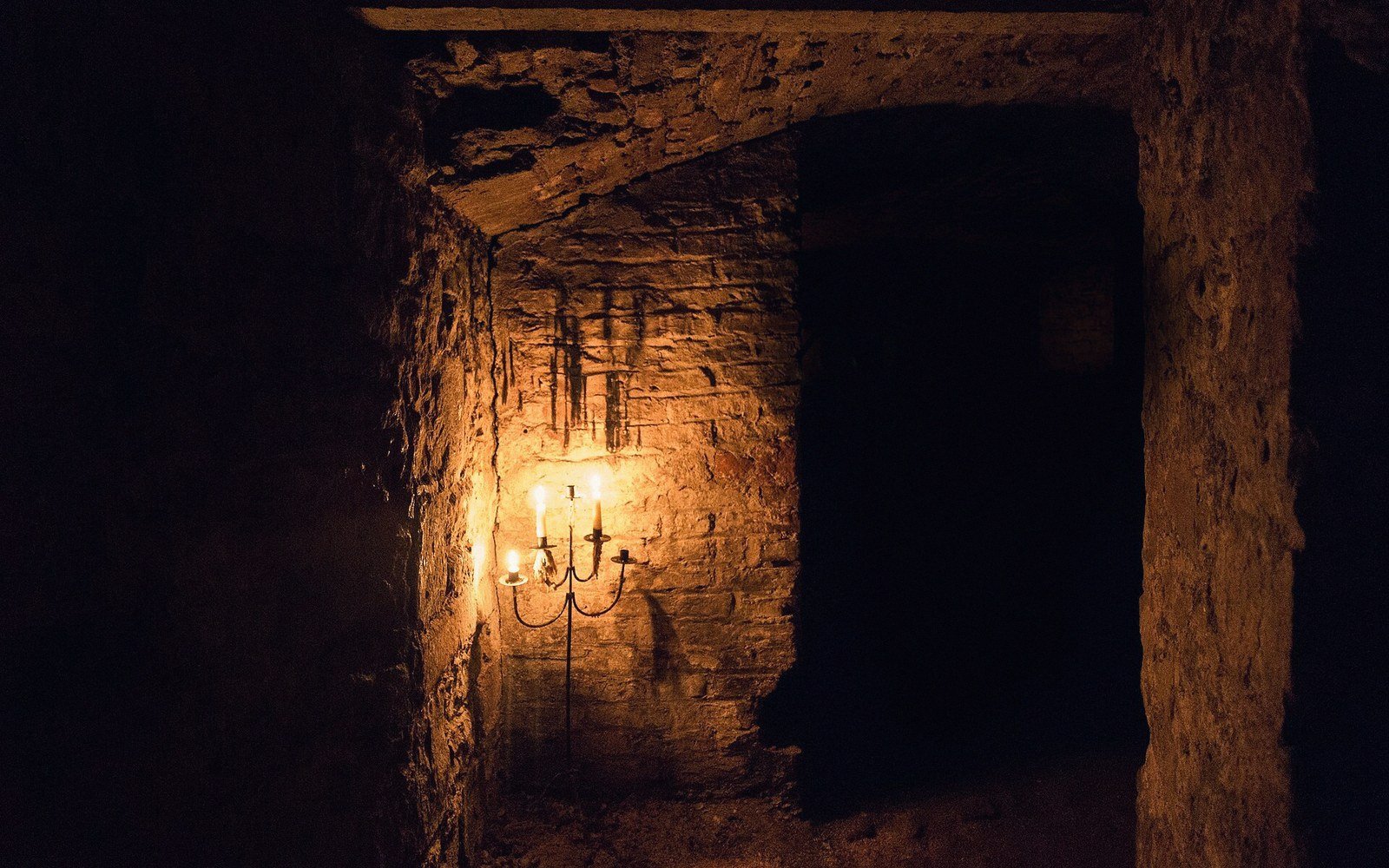
The Vaults
More than thirty medieval stone cellars survive beneath the plots — an unusual concentration. Built for the wine trade, cut into the sandstone, and evidence of a commercial scale the surface town no longer suggests.
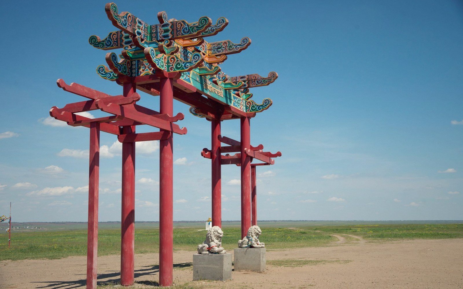
Three Gates and No Wall
The Strand, Pipewell and New Gates stand in open ground, the New Gate nearly a mile from anything. What that says about the planned town.
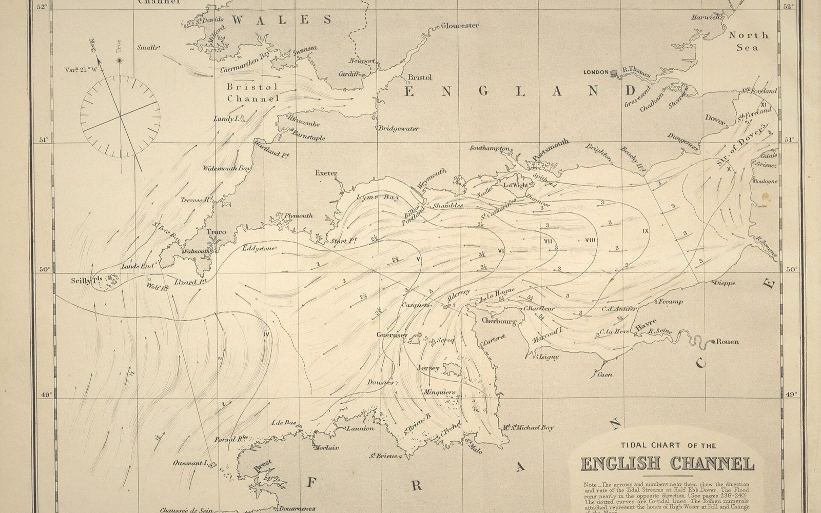
The Raids
Winchelsea was attacked repeatedly across the fourteenth century. What the documented raids did to the population and the trade, described soberly and without embellishment.
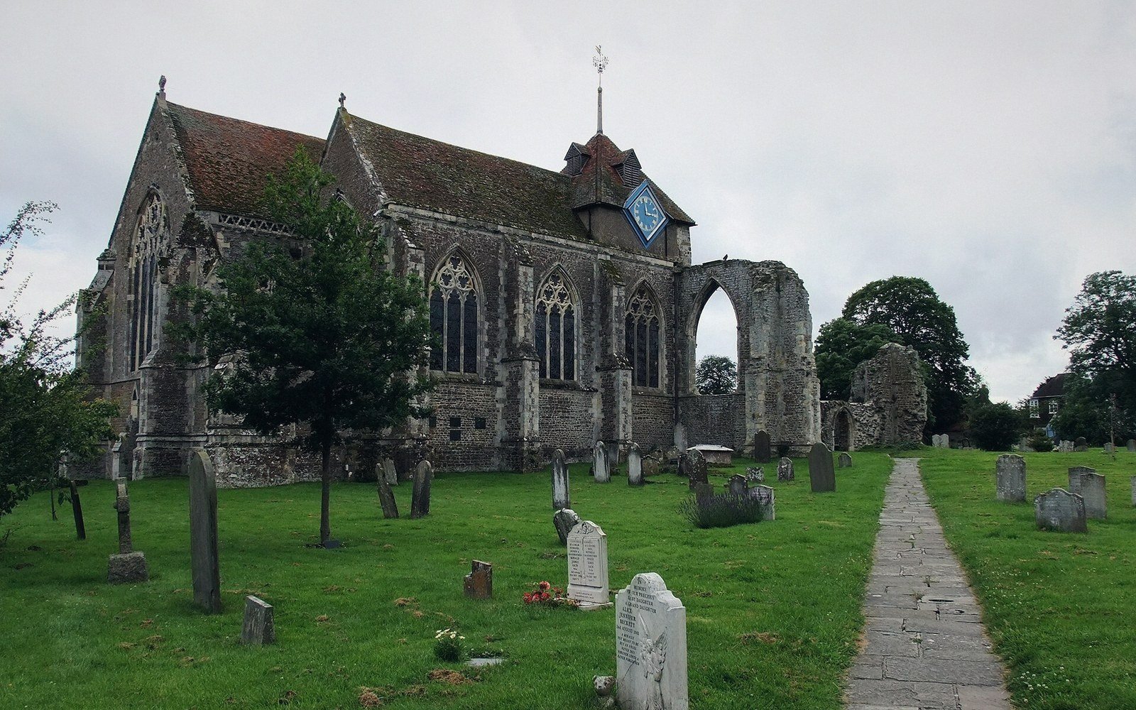
The Church That Lost Its Nave
St Thomas the Martyr stands as a chancel and transepts with nothing in front of them. Whether the nave was destroyed or never completed, and what the surviving fabric argues.
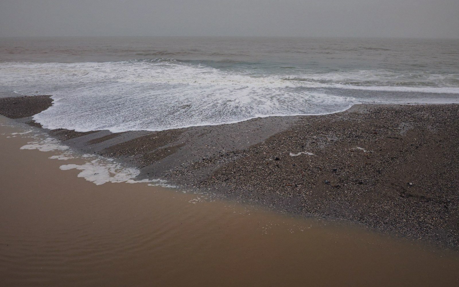
The Night the Sea Took the Old Town
Old Winchelsea was on the shingle below and was destroyed by storm surge in the 1280s. The documented sequence, the decision to move, and what happens to a port that loses its harbour twice.
The Silt
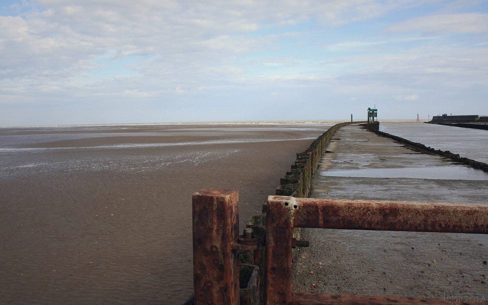
The harbour did not close in an event; it closed over decades as the Brede and the tides filled it. The physical process, and the economic consequence of a quay that ships can no longer reach.
Two Thirds of It Is Grass
The plan was drawn for a population that never came, and most of the quarters were never built on. What an unbuilt medieval town square looks like on the ground, and how to see the streets that still serve nothing.