The Plan
Thirty-nine squares drawn before the town existed.
Everything else on this site follows from one decision: that the replacement town would be drawn before it was built. The quarters in this section deal with the survey itself — who ordered it, who pegged it out on the ridge, what the rental recorded, and where the geometry gave way to the ground.
4 quarters
Every piece in this section-
I
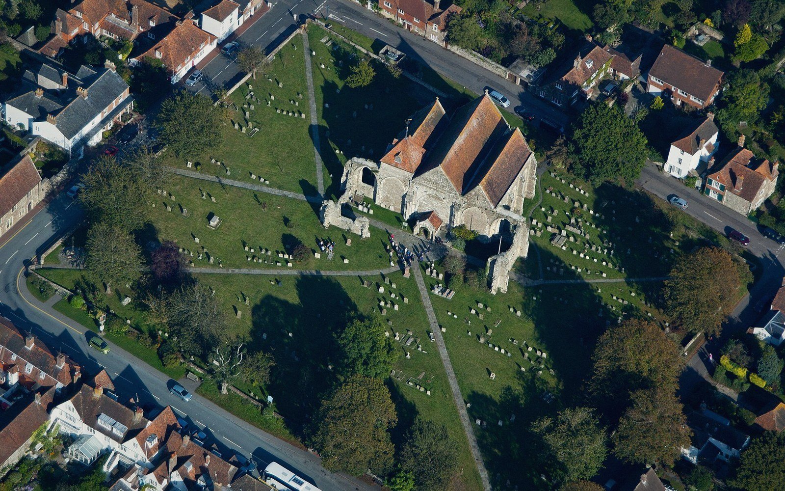
A Town Drawn Before It Existed
The sea took the old town in a night, and what replaced it was not a village that grew — it was a plan, set out on the ridge in equal blocks with a quay below the cliff. One of the most complete surviving medieval new towns in England, and why it was drawn that way.
-
II
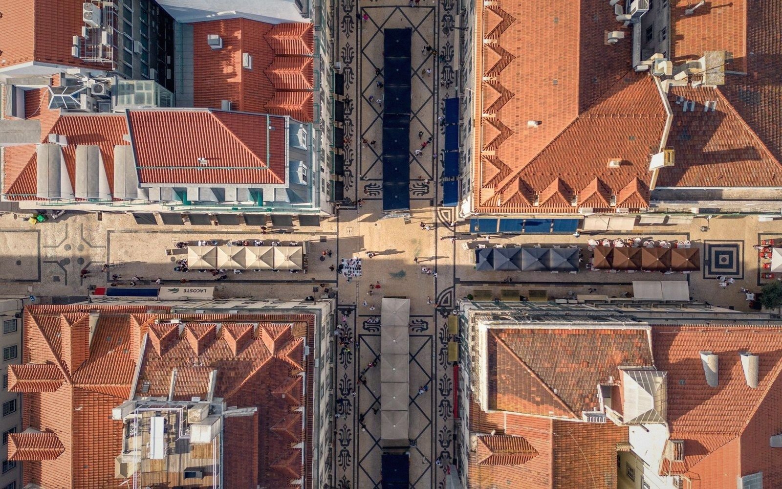
Thirty-Nine Quarters
The rental of 1292 records the grid square by square. What the document tells us about intended density, plot sizes and who was expected to live where.
-
III
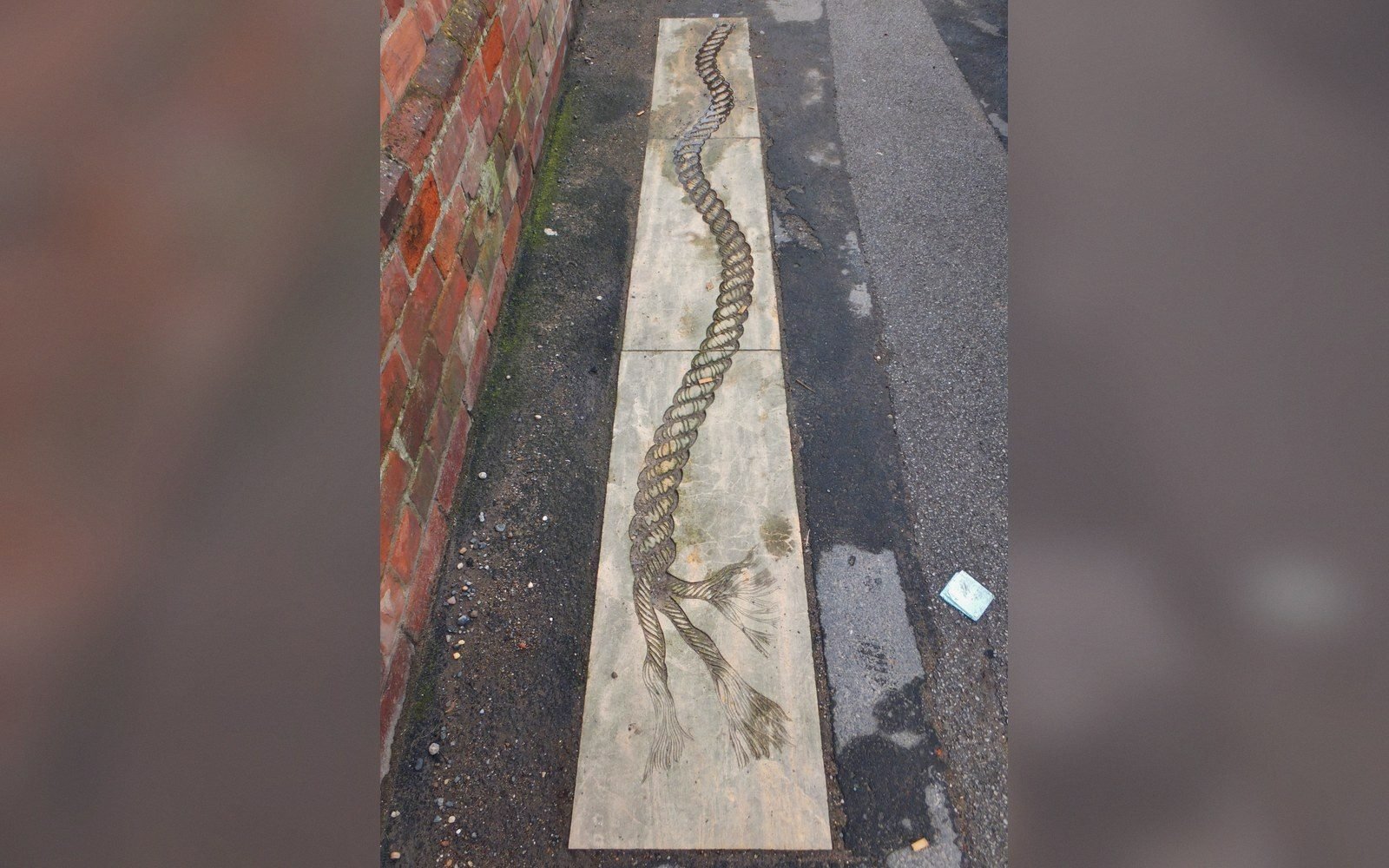
Who Actually Lays Out a Town
The mechanics of a planned foundation in the 1280s: royal intent, surveying on the ground, and the machinery for persuading people to move to it.
-
VIII
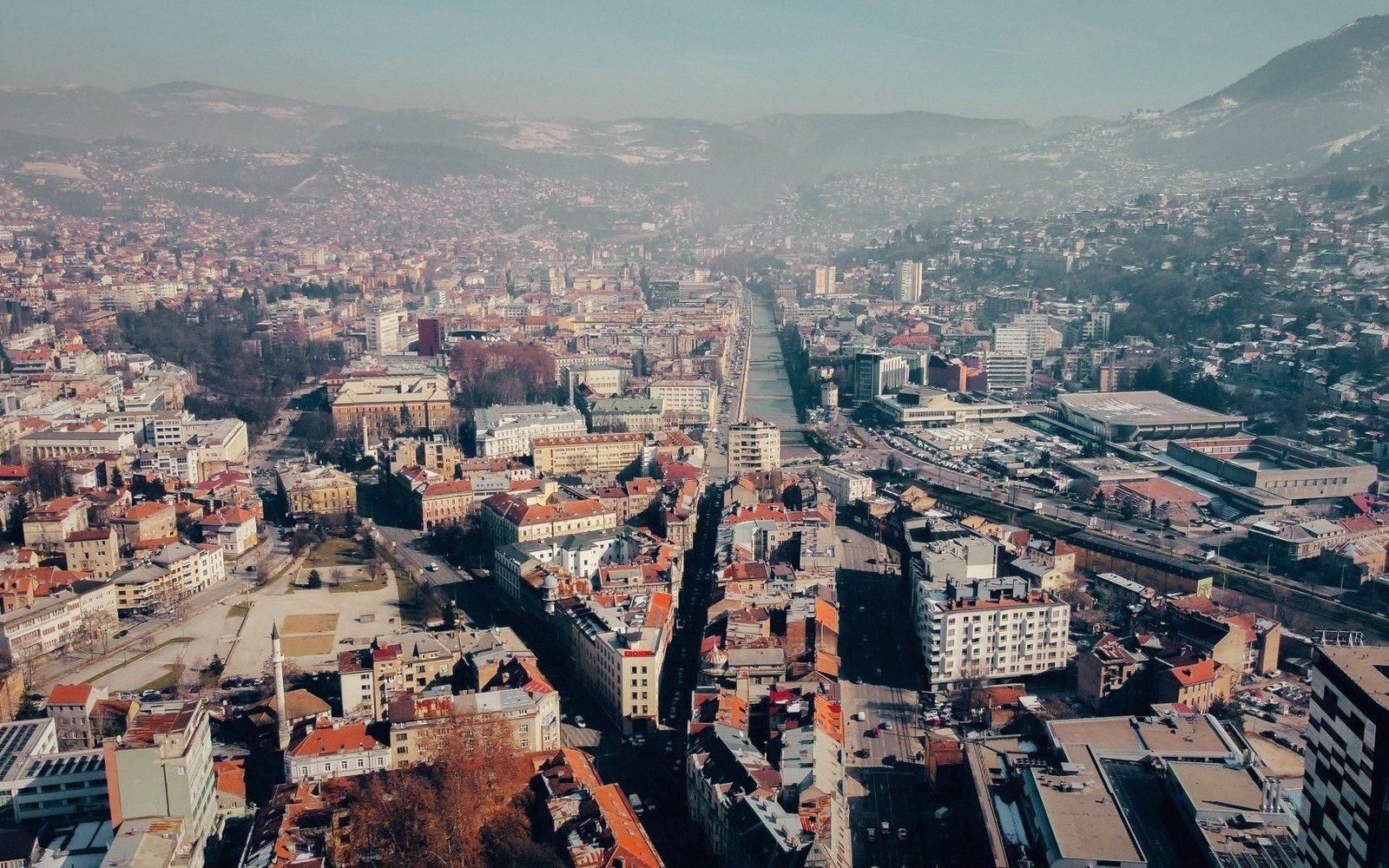
The Grid Meets the Slope
A rectilinear plan imposed on a ridge that is not flat. Where the geometry gives way to the ground, and what that reveals about the surveyors' priorities.