The evidence underfoot
A surveyor marked it out, assigned it a number, and recorded it in the rental of 1292. Then nobody built on it. And yet the square did not disappear.
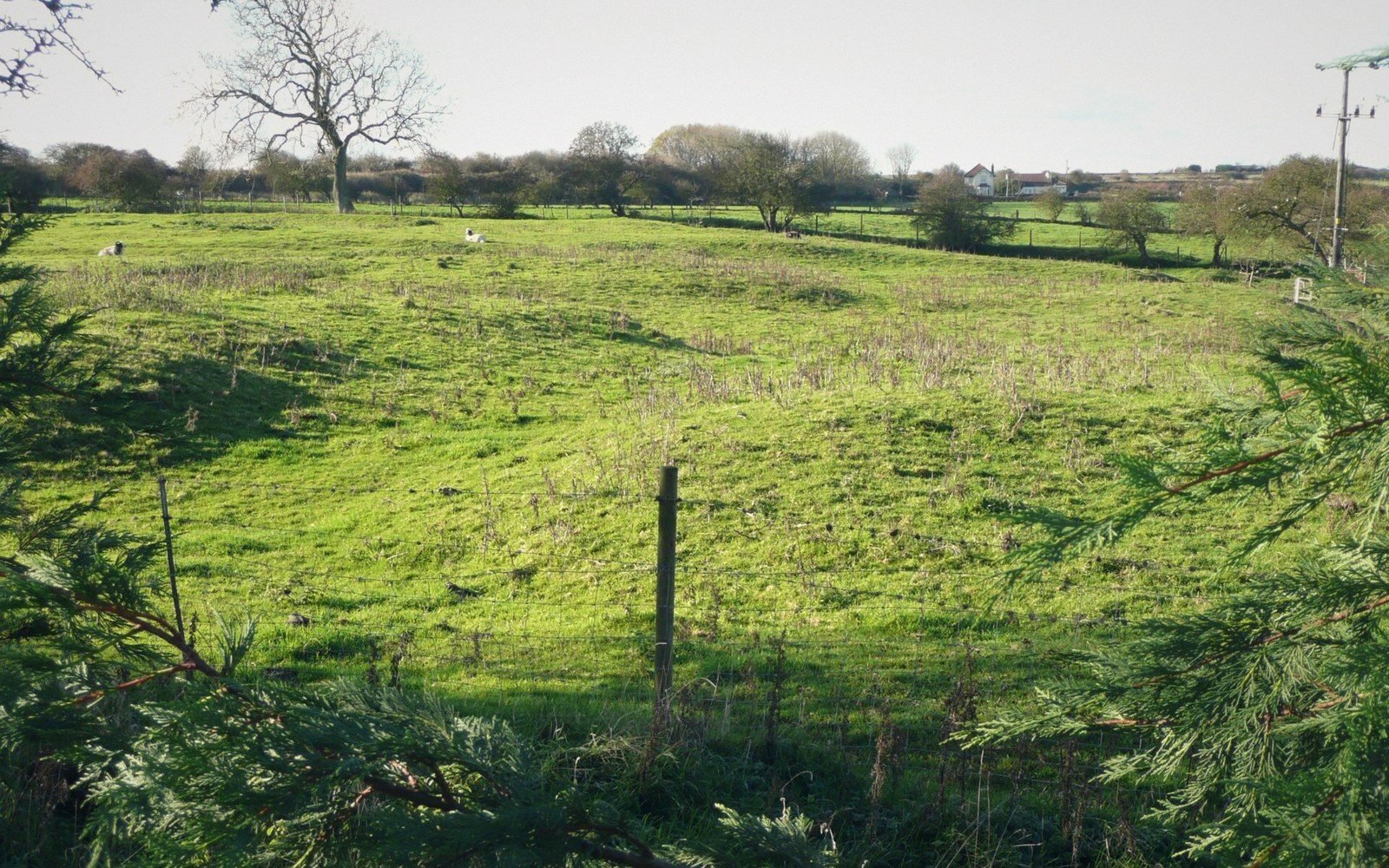
Walk to the western edge of the ridge — past the last inhabited street, past the point where the metalled road gives up — and the ground starts to tell a different story from the one about decay and absence. The grass is not smooth. It lifts and falls in long low banks that run at precise right-angles to each other, following orientations that have nothing to do with the natural contour of the hill. These are the ghost lines of the planned grid: the property boundaries of plots that were surveyed, allocated, and never built upon.
The earthwork evidence falls into roughly three categories. First, the plot boundaries themselves: low scarps, sometimes only thirty centimetres proud of the surrounding turf, running straight for distances that match the standard Winchelsea plot width. They are not natural terracing — the ridge is not steep enough here to generate that kind of stepped erosion — and they align too precisely with the established street grid for coincidence. Second, the hollow ways: where a lane was used long enough to compact the ground before the traffic stopped, the surface sits slightly below the adjacent level, a shallow depression that holds moisture and supports a different, darker green. You can trace the projected line of a street that never received a single building along its frontage. Third, more locally, slight platforms — rectangular areas of marginally raised and level ground where topsoil was stripped and the surface prepared, or where spoil was redistributed, in anticipation of a foundation that was never laid.
What the ground keeps
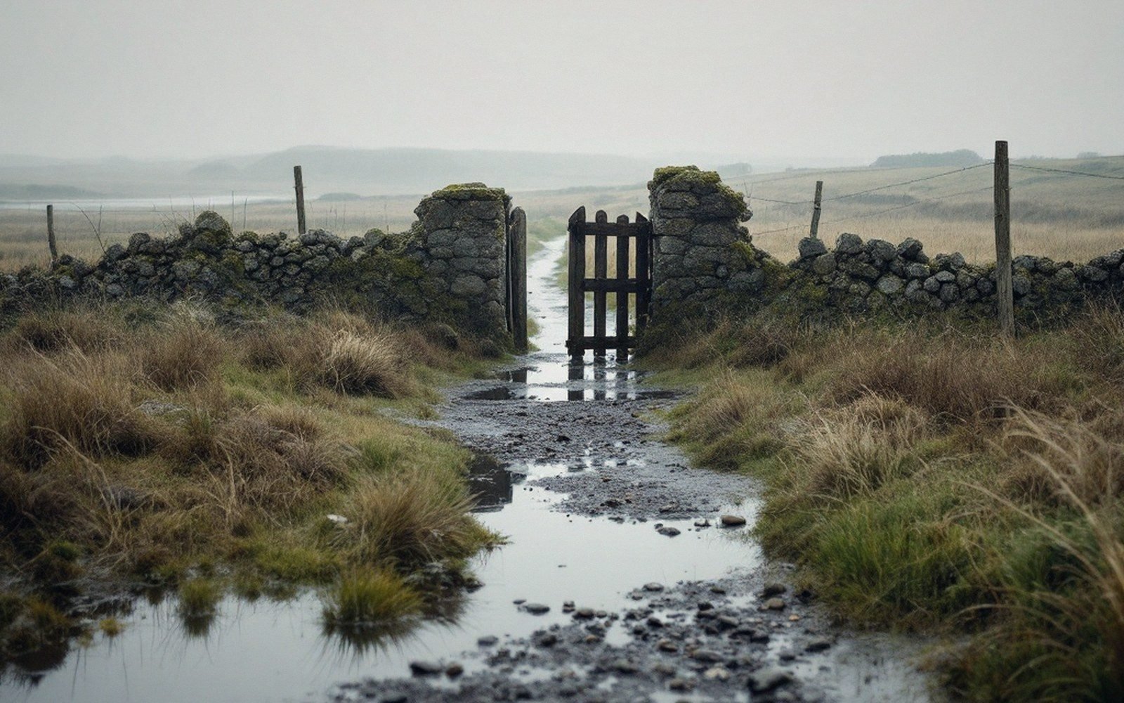
None of this is dramatic. There is no ruin, no standing stone, no obvious monument. The whole point is that nothing was built, so there is nothing to fall down. What remains is the memory of earthmoving: the small, deliberate interventions in the ground surface that precede construction and that, once made, persist for centuries in stable pasture. Arable ploughing would have erased them within a generation. Winchelsea's unbuilt quarters survived because they became grazing land early, and grazing land they have largely remained.
This is also why the evidence is most legible in low, raking light — early morning or late afternoon in spring and autumn, when shadows fill the depressions and catch the scarps that the eye passes over entirely at midday. The same conditions that make ridge-and-furrow readable in an English field make these boundaries visible: the sun does the work that excavation would otherwise require. No one has put a spade in to confirm the full circuit, and the earthworks deserve that restraint; what survives undisturbed is the record.
Chronology
4 entries · in order- 1287–88Old Winchelsea destroyed by storm surge; new town on the ridge begun
- 1292Rental survey records the new town quarter by quarter, including assignments in areas that were never built upon
- 14th centuryFrench raids and harbour silting accelerate abandonment of outer quarters
- PresentOuter quarters remain as managed grazing; earthworks survive in undisturbed pasture
The plot divisions that are still legible broadly correspond to the quarter system recorded in the 1292 rental. That document — a near-contemporary survey of the new town, drawn up when the grid was fresh and the ambition still intact — numbers the quarters and records the tenants assigned to them. Some quarters filled quickly, particularly those near the church and the central market area. Others returned only a handful of tenants from the outset, and some appear to have received none. The rental read square by square shows a town already uneven in its occupation; the earthwork record in the grass is the physical consequence of that unevenness, preserved across seven centuries.
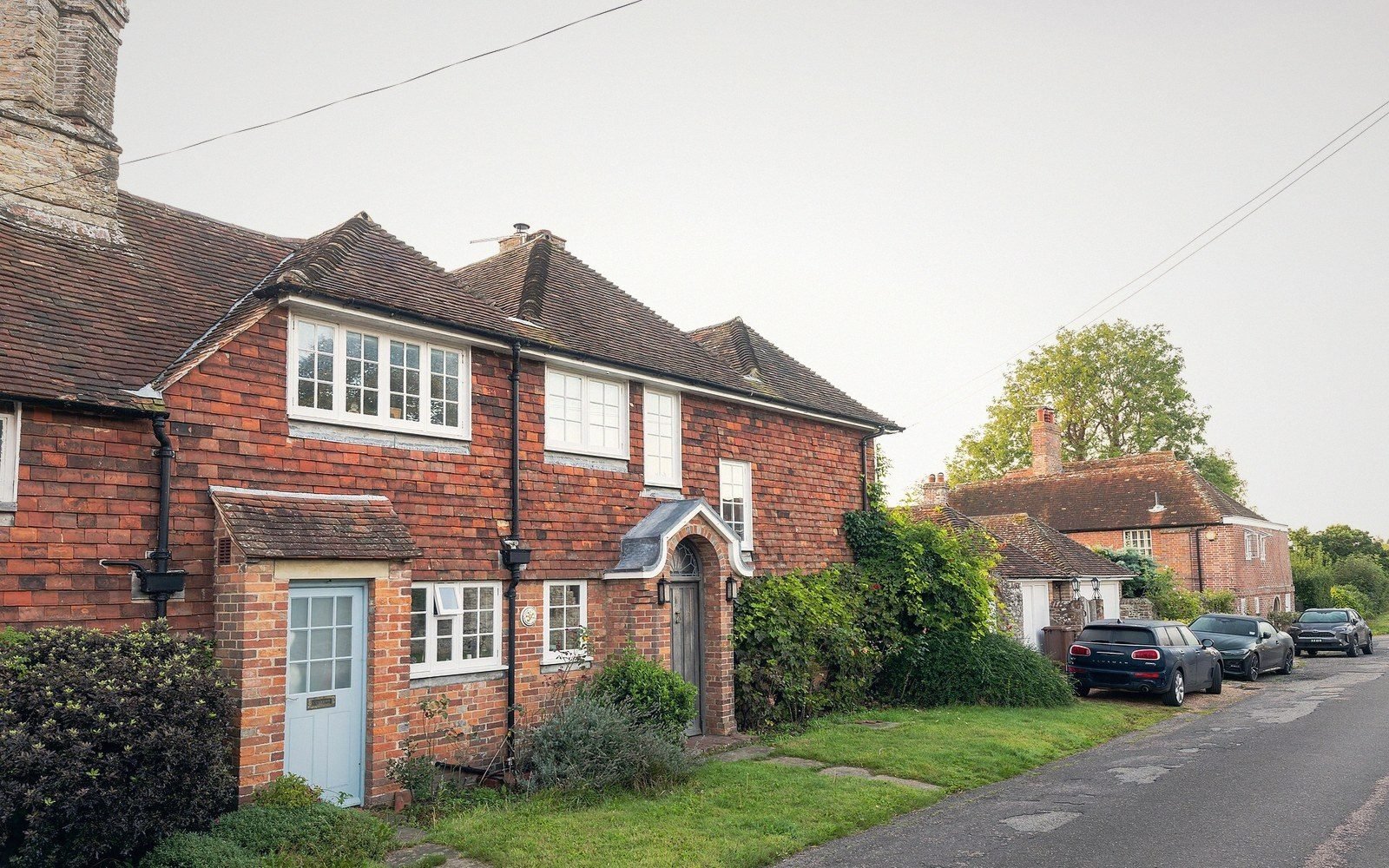
What is harder to read on the ground is the reason any particular quarter stayed empty. The rental tells us who was assigned a plot; it does not tell us why a grantee never arrived, or arrived and then left without building. The raids of the fourteenth century accelerated abandonment of the outer quarters, but some were already sparse before the first French attack. The harbour's silting removed the commercial logic that should have drawn merchants to the western and southern edges of the grid, furthest from the church and the market. Population never reached the level the plan assumed. All of these pressures compounded, and the result is the grass you are standing on.
How to look
If you want to make sense of the earthworks rather than simply walk across them, bring the grid plan and a compass bearing. The streets of occupied Winchelsea run slightly east of north; the earthwork boundaries in the empty quarters follow the same bearing. Stand at the edge of the last inhabited plot and look along the projected line of the next street: the hollow way, if it survives, should appear as a stripe of darker vegetation extending away from you. Then look perpendicular to it for the plot scarps, which will run across the projected street line at intervals corresponding to the standard plot depth.
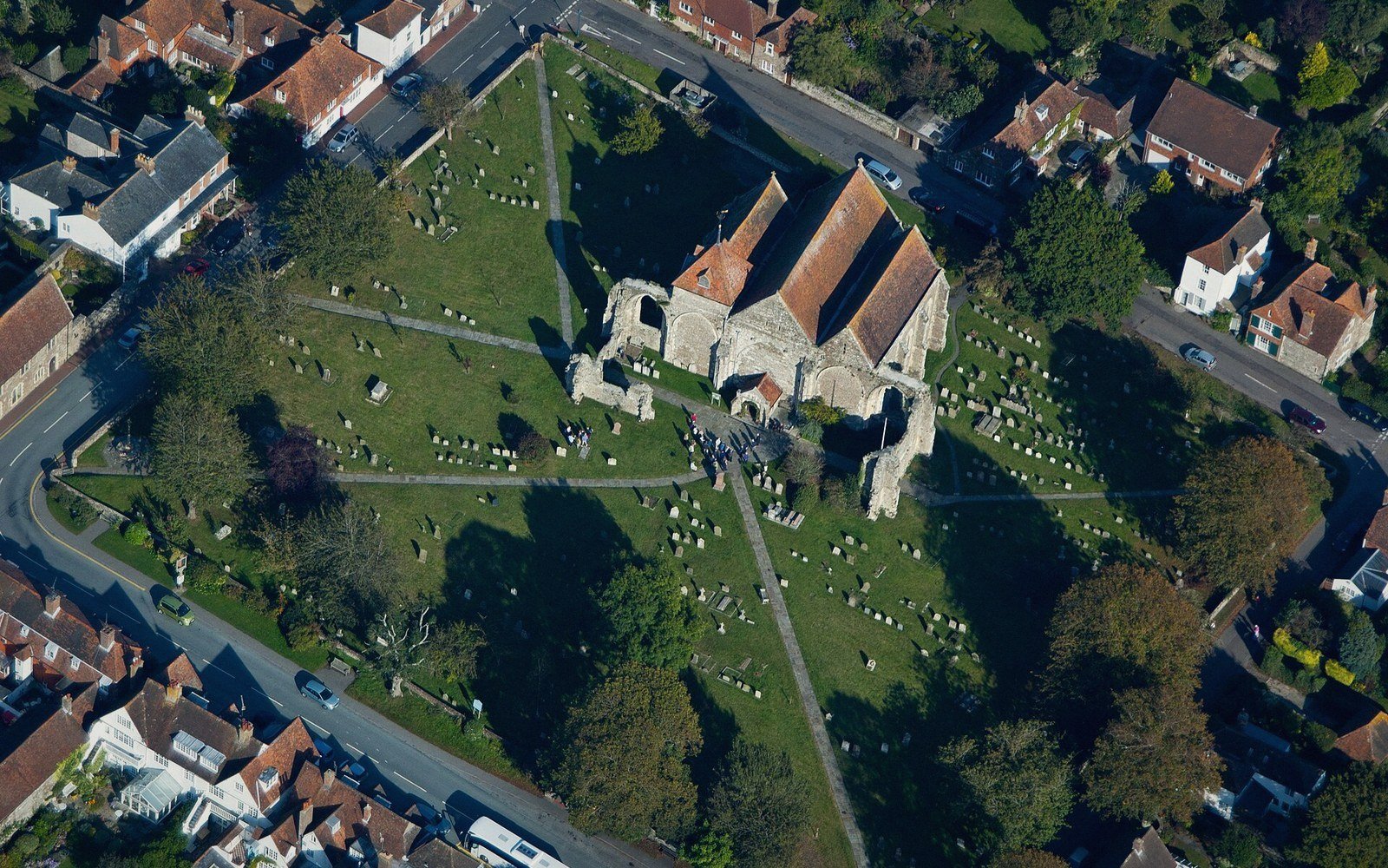
This is not a site that rewards casual attention. It rewards the twenty minutes of patient looking that separates a field from a text — the slow recognition that the landscape underfoot is not natural ground at all, but a plan that someone drew before any of it existed, and that the ground, outlasting the buildings that never came, has been quietly holding the geometry ever since.