Old Winchelsea and what the storms took
The town that Edward I abandoned was not a village. Old Winchelsea sat on a large shingle promontory at the mouth of the Rother, carrying a substantial population and one of the busiest harbours on the Sussex coast. It had its own churches, its markets, its merchants — men trading primarily in Gascon wine, that commodity which would leave its mark on the new town in the form of stone-vaulted cellars. The Cinque Ports confederation had rated it among the most significant of its members: Winchelsea owed the crown a substantial ship service, which is a measure of a town that actually mattered. Then the sea moved in, and the shingle moved with it, and the decision was made to start again on higher ground.
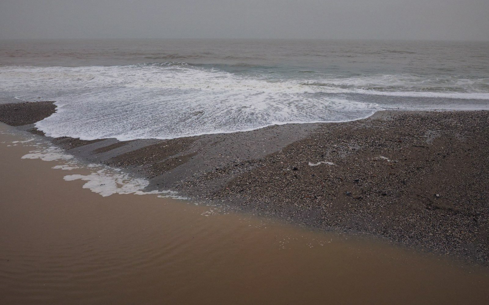
The destruction was not a single night, whatever the phrase suggests. What happened to Old Winchelsea across the later thirteenth century was a sequence: progressive inundation, storms of escalating violence, and the slow unwinding of a working port as shingle accumulated against its harbour mouth. The great storm events of 1250, 1252 and 1287 are the ones the chronicles name. The 1287 storm — sometimes set against the same weather system that reshaped so much of the southern North Sea coast that winter — appears to have been the terminal event. By then the decision to move was already in hand; Edward I had received reports and commissioned a survey, and the site on the ridge above Iham had been identified. The storm of 1287 did not cause the relocation so much as confirm it was inevitable and make delay unconscionable.
What exactly the shingle did matters. Old Winchelsea stood on a low barrier spit — the kind of formation that is inherently temporary on a geological scale, maintained by longshore drift and vulnerable to any disruption in that supply. As the drift shifted and storms drove water across the low-lying ground, the town's elevation offered almost no protection. Water entered buildings. Streets became tidal. The harbour, which was the reason the town existed, was simultaneously choking with accumulated shingle from the west. A port that cannot be reached by ships is a port in name only, and merchants do not wait for a king to act.
Chronology
7 entries · in order- c. 1250first major documented storm damage to Old Winchelsea
- 1252further storm event recorded
- early 1280s Edward Icommissions survey; new site on the Iham ridge identified
- 1287 catastrophicstorm; the decisive terminal event for the old site; laying out of the new town follows
- 1292rental document records new town already partly tenanted, quarter by quarter
- 14th centuryFrench raids; harbour silting accelerates; town begins to contract
- 15th century and afterouter quarters abandoned; two thirds of the grid reverts to grass
The mechanics of moving a town
The decision to build a new town drawn before it existed is documented in the royal record. Edward I granted the site, arranged the survey, and the grid was laid out on the plateau above the cliff. What the record does not preserve in full is the human texture of that transition — when exactly families moved, whether trade continued from the old site during the years the new quarters were being parcelled out, whether some stayed too long on the sinking ground. The rental of 1292, which records occupants quarter by quarter, shows the new town already partly tenanted while the old was presumably still half-inhabited or half-remembered. That document captures a moment of overlap: a town simultaneously being built and being settled.
The logistics of moving a working medieval port are easy to understate. The wine trade demanded storage infrastructure, and stone cellars of the kind built beneath the new Winchelsea plots were not improvised quickly. The merchants who funded those vaults — the Alards and their contemporaries — were committing capital to the new site while presumably winding down operations at the old. The timing mattered: a merchant who moved too early lost the revenue from an old building; one who moved too late built under pressure and in haste. The fact that more than thirty medieval vaulted cellars survive in the new town suggests the investment was real and the expectation of continuity was genuine. These were not temporary structures.
The streets of old Winchelsea are gone, along with its churches, its quays and whatever stone buildings it carried. The shingle has shifted repeatedly since 1287, and nothing archaeologically useful has emerged from the promontory site in conditions that would allow systematic investigation. We know the old town existed at significant scale because the documentary record says so: its ship obligations, its tax assessments, its merchant community — these are attested. But we cannot walk its streets or read its plan, and in that sense it is a town known only through the shadow it cast on its successor.
What a port loses when it loses the sea twice
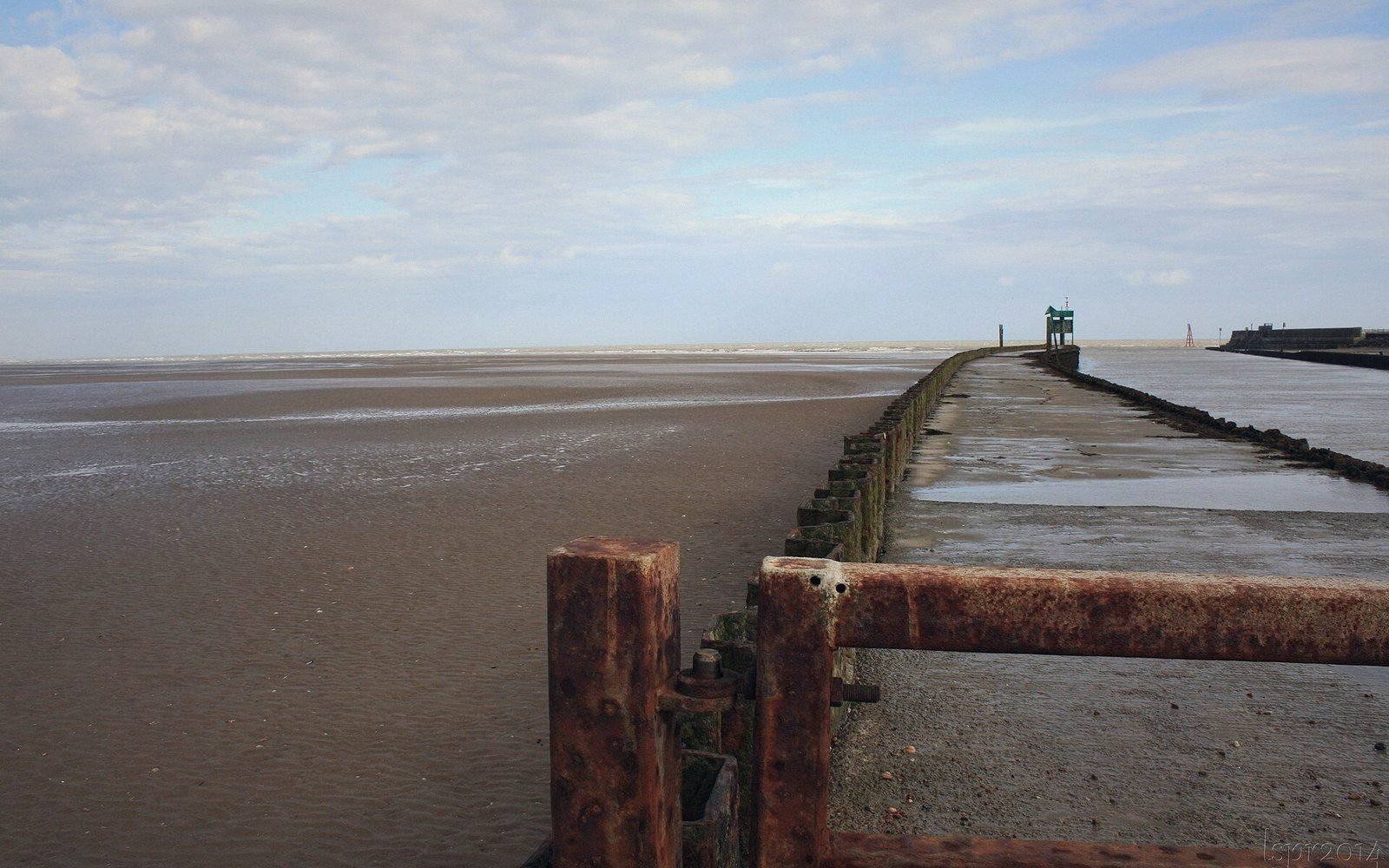
The new Winchelsea had its harbour. For a time it functioned as Edward had intended, handling wine imports and military logistics — the Cinque Ports obligation required it to provision and crew ships for the crown, and for some decades it did so. But the same coastal processes that had undermined Old Winchelsea were at work on a longer timescale in the new estuary. The Brede and the Rother together built up silt. The harbour silted. The sea retreated. What is now two miles of grazing marsh between the town and the shore is the old sea bed, given up incrementally over the fourteenth and fifteenth centuries.
This is the particular misfortune of Winchelsea: it lost its harbour not once but twice, and the second time there was no ridge to move to, no royal surveyor to lay out a grid on dry ground. The town simply shrank. The outer quarters, never fully built even at the height of optimism, were abandoned. The grid that had been drawn for a substantial commercial port became a frame too large for the population it retained. Two thirds of the original plan is now grass, the earthworks of unbuilt plots still legible in the right light.
The French raids of the fourteenth century — documented attacks in which the town was burned more than once — accelerated a decline already in motion. A port town losing its harbour has diminishing reason to absorb the cost of rebuilding after an attack. The church of St Thomas the Martyr was begun at a scale that assumed continued prosperity; the nave was never finished. The town contracted toward its centre, and the outer quarters were given back to agriculture.
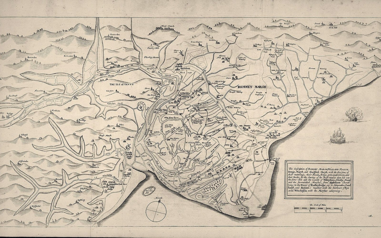
What the sequence reveals is the particular vulnerability of any settlement whose existence depends on a coastline it cannot control. Old Winchelsea was destroyed by the sea moving in. New Winchelsea was slowly abandoned by the sea moving out. The interval between the two events — roughly a century and a half of real function as a port — was long enough to build vaulted cellars and canopied tombs and a chancel of genuine ambition. It was not long enough to outlast the silt.
There is a temptation to read Winchelsea as a failure. It is better read as a case study in the interaction between human planning and physical process. The grid on the ridge was a serious act of urban ambition — a rectilinear plan imposed on a sloping plateau, parcelled into numbered quarters, rented out to identifiable people. The wine trade that passed through it was real. The military service it rendered was real. The storm that ended the old town was real, and so was the silt that ended the new harbour. What the town is now — a small community living inside a plan drawn for a much larger one, with grass where the outer quarters never rose — is not a monument to failure but to the stubbornness of a layout that survives even when the reason for drawing it has long since departed. The streets of the grid are still there. Most of them are just very quiet.