The old sea bed beneath your feet
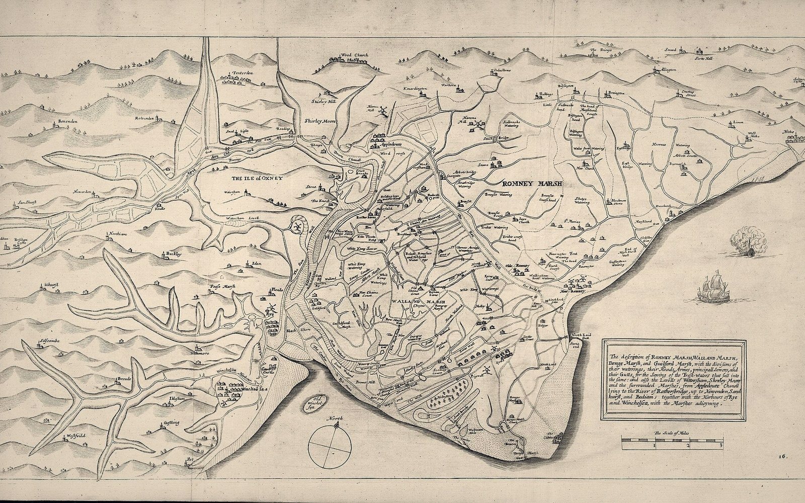
Stand on the Strand Gate and look south-east. The ground drops from the cliff edge and the land opens into a wide, flat plain of grazing — pale green in summer, silvered and cut by drainage channels in winter — that runs roughly two miles to the present shoreline near Rye Harbour. This is not ordinary low-lying ground. It is, in geological terms, extremely recent. For much of the medieval period, it was sea.
The plain is part of the Brede and Tillingham levels, a section of Romney Marsh's western fringe. The same process that drowned the old town on the shingle below and prompted the foundation of the new one on the ridge also shaped this landscape: storm surges and longshore drift rearranged the coast repeatedly across the twelfth and thirteenth centuries, and sediment brought by those same forces eventually began to fill the estuary that had made Winchelsea a port worth founding. The harbour did not drain overnight. It filled across generations, tidal creek by tidal creek, as the Brede and the Rother deposited silt faster than the sea could scour it clear. What you see from the gate is the consequence: a former seaway turned to pasture.
Reading the drainage
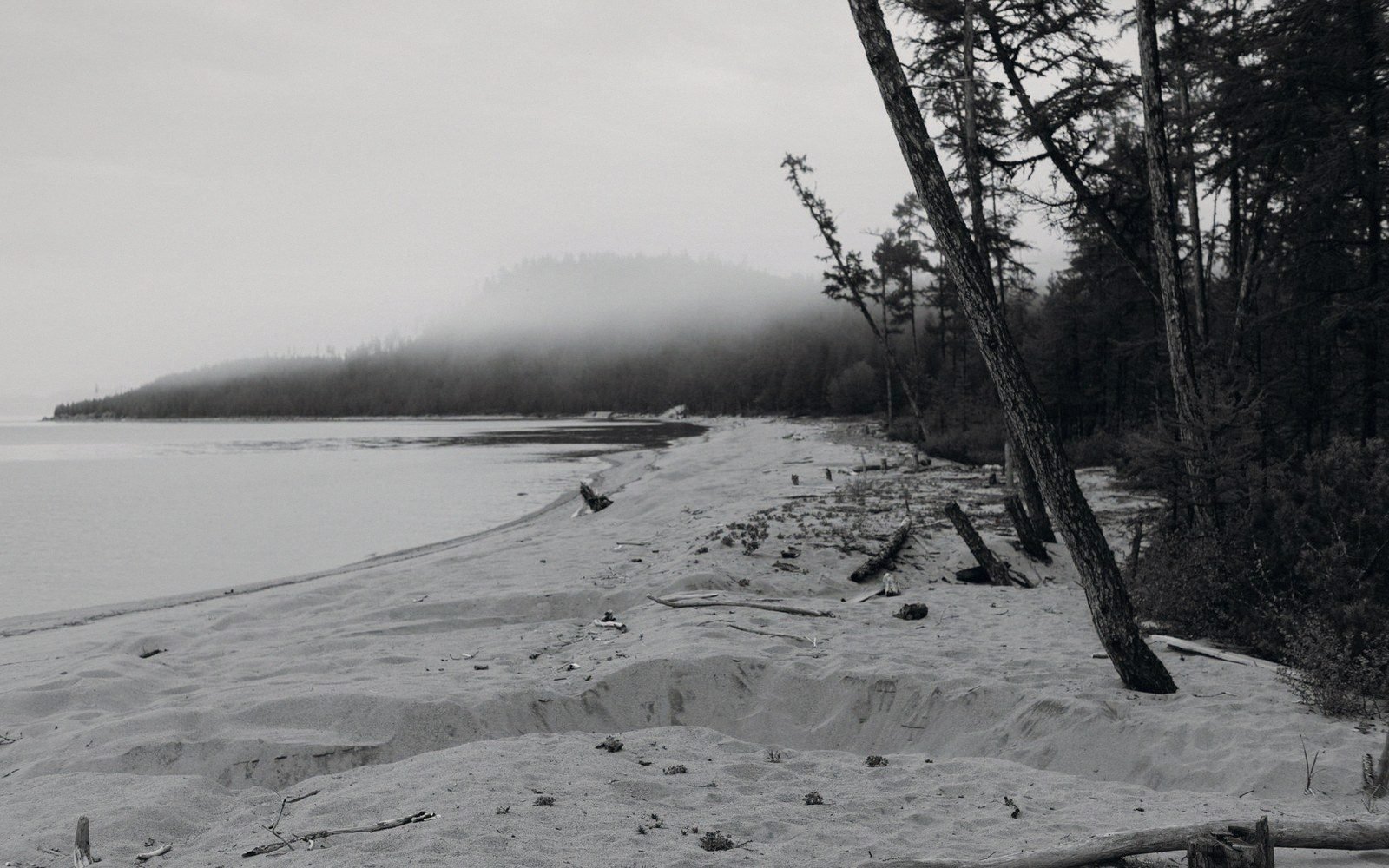
The clearest sign that this land was engineered rather than simply reclaimed by natural silting is the drainage pattern. The channels that cross the levels are not random; they form a roughly hierarchical system of main sewers, secondary cuts and minor grips, and they run at slight angles that correspond to the lie of the land rather than to any natural watercourse. The word sewer here carries its old meaning — a drainage channel, not a waste pipe — and the sewers of Romney Marsh have been maintained under that name since at least the thirteenth century. The bodies responsible for maintaining them, the Levels and Drainage Boards, are the direct institutional descendants of medieval commissions of sewers appointed under statute.
Walking the lanes between the town and Rye, you cross these channels on small brick or stone bridges, many of them eighteenth or nineteenth century in fabric but replacing earlier timber crossings of much older cuts. The direction of flow is not always obvious from ground level, but the channels drain generally eastward toward the Rother, which has itself been redirected more than once. Before the Rother's mouth shifted to Rye in the medieval period, the estuary entered the sea further east, and the settlement pattern of the entire area reflects that lost geography.
Key terms
Words used in their local sense| Term | What it means here |
|---|---|
| — | Sewer (drainage sense) — a managed open channel draining agricultural levels; the old legal and engineering term, distinct from the modern sanitary usage |
| — | Grip — a minor field drain feeding into a larger sewer; standard Romney Marsh vocabulary |
| — | Commission of sewers — the medieval statutory body responsible for maintaining drainage and sea defences; the precursor of modern drainage boards |
Look at the surface of the levels in winter after heavy rain. Water sits in the fields for days, sometimes weeks. The land is only marginally above high-tide level and depends entirely on maintained outfalls to drain at all. Block the sea walls, neglect the sluices, and the water returns within a season. It is not reclaimed land in any permanent sense; it is land held against the sea by continuous maintenance, and the sea walls that run along the landward edge of the shingle are what make habitation and grazing possible.
What the sea walls are holding
The sea walls visible today — long green embankments running between the levels and the open beach — are not medieval. They have been raised and rebuilt many times, the present profiles dating largely from the eighteenth century and later, though the line of protection has existed in some form since the reclamation of the levels began. Behind them, the grazing land sits at or below mean high-water mark. The walls are not decorative; they are functional flood defences, and their maintenance is a live question of cost and priority that the relevant drainage authorities and the Environment Agency manage now as medieval commissions managed it then.
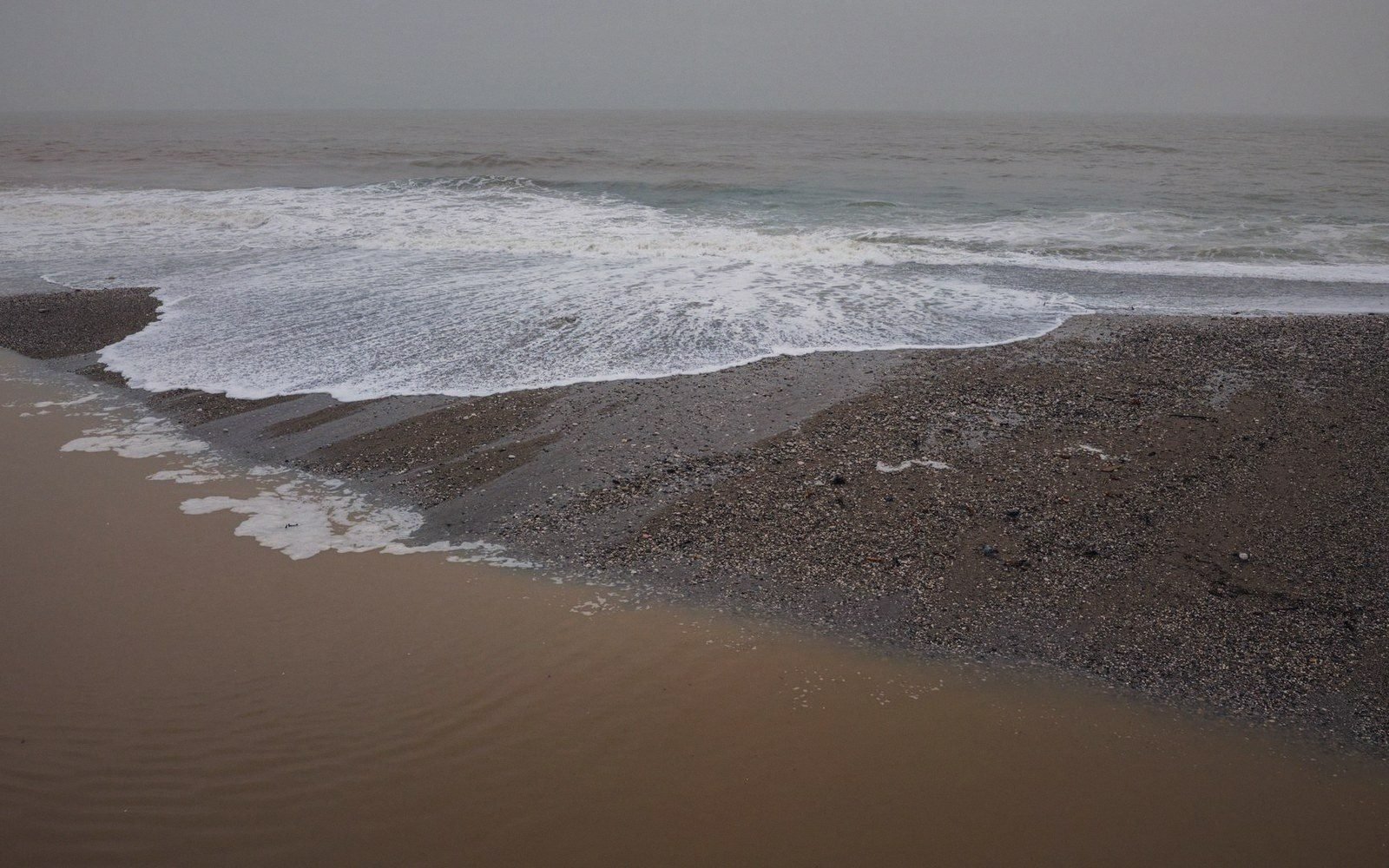
The shingle beach at Rye Harbour acts as a natural buffer, but it is not static. Longshore drift continues to move material eastward, and the beach has narrowed in places within living memory. Storm events push water over or through the shingle; the sea walls behind it absorb what the beach cannot. The two miles of marsh between the town and the shore are, in this sense, a buffer zone held between one natural feature and one engineered one, and the arrangement is no more permanent than it was in the thirteenth century when the estuary was filling and the port was dying.
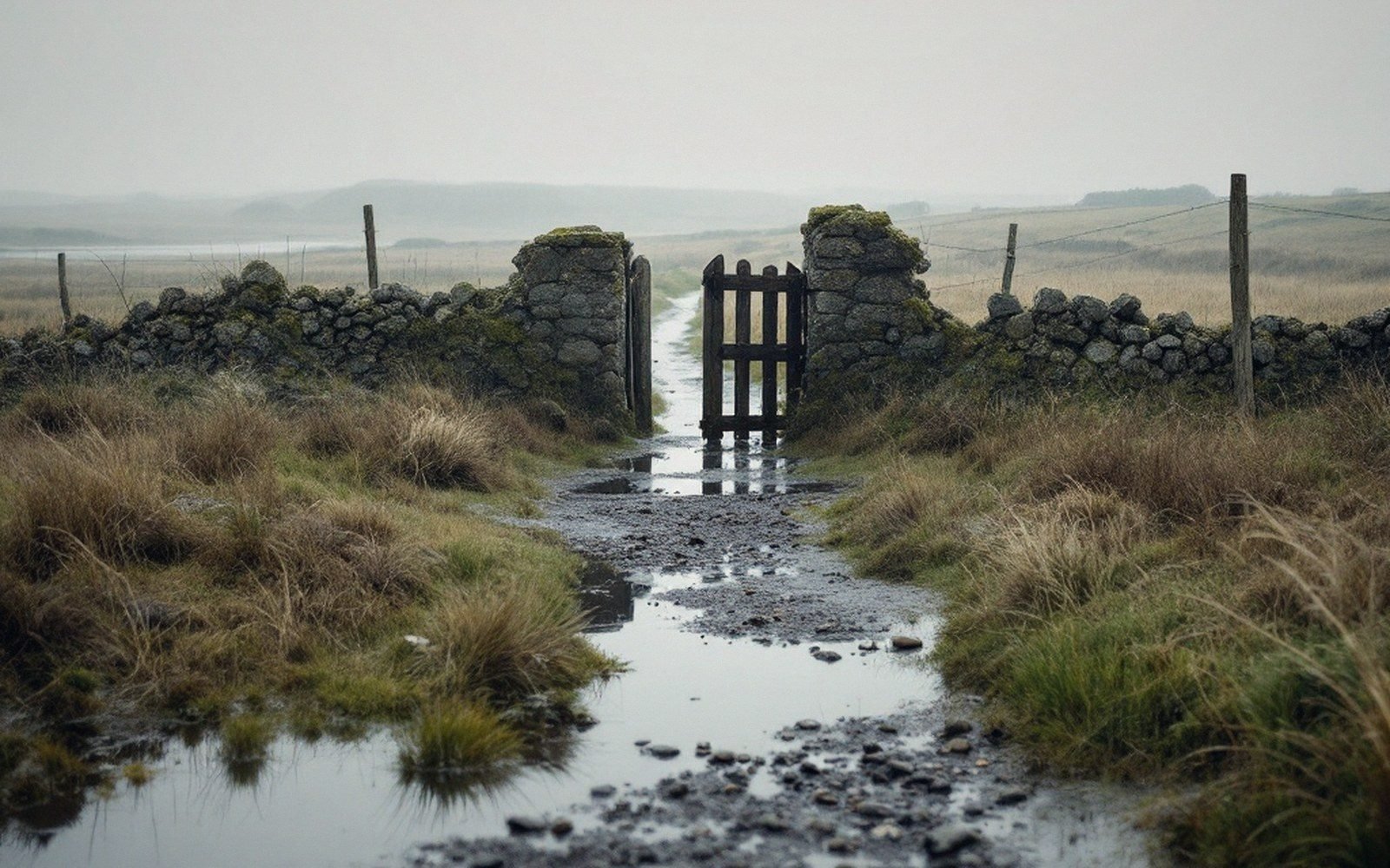
From the ridge above, all of this reads as open, quiet, slightly featureless grazing. From inside it, crossing the levels on a wet November morning with the drainage channels full and the wind off the sea, it is quite evidently a landscape under negotiation — held, for now, at an altitude of inches.