When the Plan Met the Ground
Winchelsea's grid looks, on paper, like an act of pure geometry: a rectangle divided into thirty-nine quarters, each quarter subdivided into plots, lanes running straight between them. It reads like something drawn on a flat surface by someone who had never visited the site. Which, in a sense, it was — and the hill it was laid onto is anything but flat.
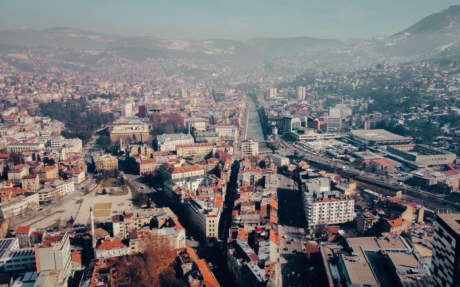
The town sits on a sandstone ridge above the Brede valley and the levels to the south. The ridge runs roughly north-west to south-east and falls away on three sides: sharply to the east where the Strand Gate stands, more gradually to the north toward Friars Road, and again to the south and east. The ground the surveyors were given was not a table. It was a tilted, eroded block of Wealden sandstone with a pronounced camber and edges that drop between ten and twenty metres to the surrounding marsh within the space of a few hundred feet.

The grid was imposed on this anyway. That decision tells you something about how thirteenth-century town planning worked — and about which compromises the Crown's surveyors were and were not willing to make.
Where the Geometry Holds and Where It Bends
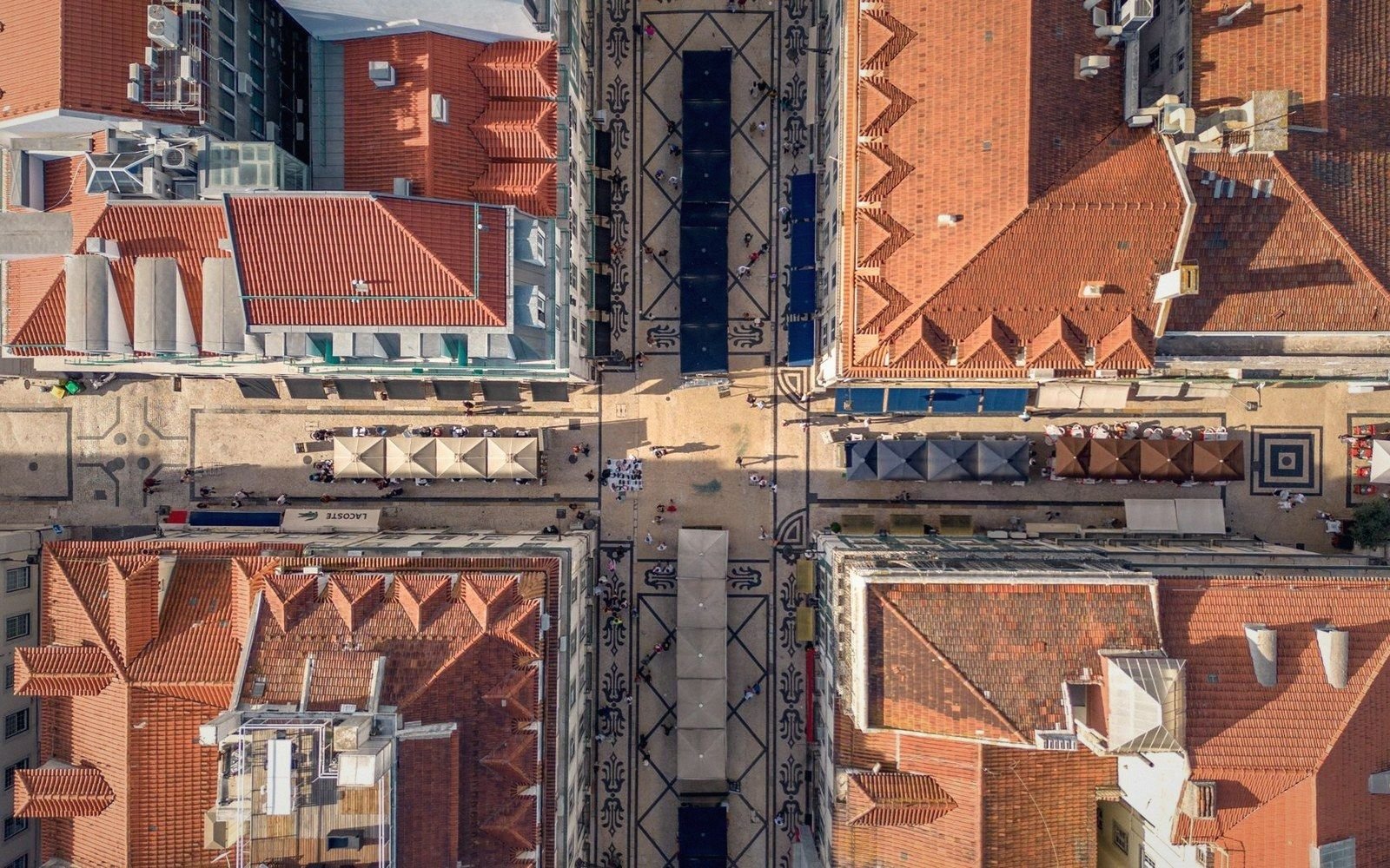
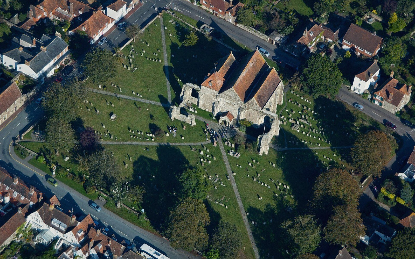
In the centre of the plan, along the ridge's highest spine, the geometry is remarkably consistent. The main east-west street and the north-south spine cross at right angles. The quarters to either side of this crossing are as close to equal rectangles as the ground allows. This is not accidental: the surveyors almost certainly began here, establishing the principal axes first and working outward. The flattest ground is in the middle; the flattest ground is also where the market and the church ended up. Priorities aligned.
Move toward the edges and the plan begins to negotiate with the hill. To the west, the street line that should carry straight on toward the Strand Gate instead foreshortens its final quarter. The slope here is steep enough that a full-depth plot would simply fall off the ridge — so the outermost plots on the western side are shallower, the lane intervals tighter. The surveyors were not abandoning the grid; they were trimming it to fit what the ground would hold.
The northern edge shows a different kind of adjustment. Here the ridge dips more gently, and the quarters extend further before the ground becomes impractical. But the contour runs diagonally across the plan rather than parallel to any street, which means that the northern boundary of the town is not a straight line — it curves slightly to follow the break of slope. Stand on Friars Road today and the irregularity is visible in the way the field edge wanders where it should, by the grid's logic, run straight.
The south-eastern corner is the most compromised. The slope and the line of the old road into the town pull in different directions, and the plots in this quadrant are visibly less regular than those in the centre. Some scholars have suggested this corner was laid out last, or laid out by a different team working from the plan rather than from the established axes — the slight misalignment in the street angles here supports that reading, though it cannot be proven.
What the Compromises Reveal
What you are reading in these adjustments is the difference between a plan and a survey. The plan was almost certainly drawn before anyone drove stakes into this particular hill — a town drawn before it existed in a meaningful literal sense. The survey came afterward, and the surveyors' job was to honour the plan as closely as the ground allowed and to make quiet, practical decisions where it did not.
Those decisions were not random. The hierarchy of concessions is consistent: the centre holds, the spine holds, the market quarter holds. Compression and irregularity happen at the edges, where land value would have been lower, where the sea view was better than the trading position, where the plots were always likely to fill last — and in many cases never filled at all. The geometry gives way precisely where it mattered least to make it give way.
That reading is confirmed by what the empty quarters look like today. Walk the grass at the western and north-western edges of the plan and the earthworks still trace the ghost of lanes that were surveyed, perhaps staked, but never built on. The slope made those quarters harder to develop. The plan put them at the margin anyway. The surveyors knew what they were conceding and conceded it strategically — which suggests they understood both the geometry they were working from and the hill they were working on rather better than the neat lines on a drawn plan might imply.